UN/LOCODE hub · United States
USGAA

Graham

31.8167°, -82.5000°
299
Population
3
Transport functions

Transport Functions

Rail
Road
Multimodal
UN/LOCODE

Hub Profile

Place type
Populated place
GeoNames
Region
Georgia
GeoNames
Population
299
GeoNames
Time zone
America/New_York
GeoNames
Elevation
73 m
GeoNames

Location

Location of USGAA
Natural Earth 10m (public domain) · Georgia · USGAA · 31.82, -82.50GoogleOSMYandex

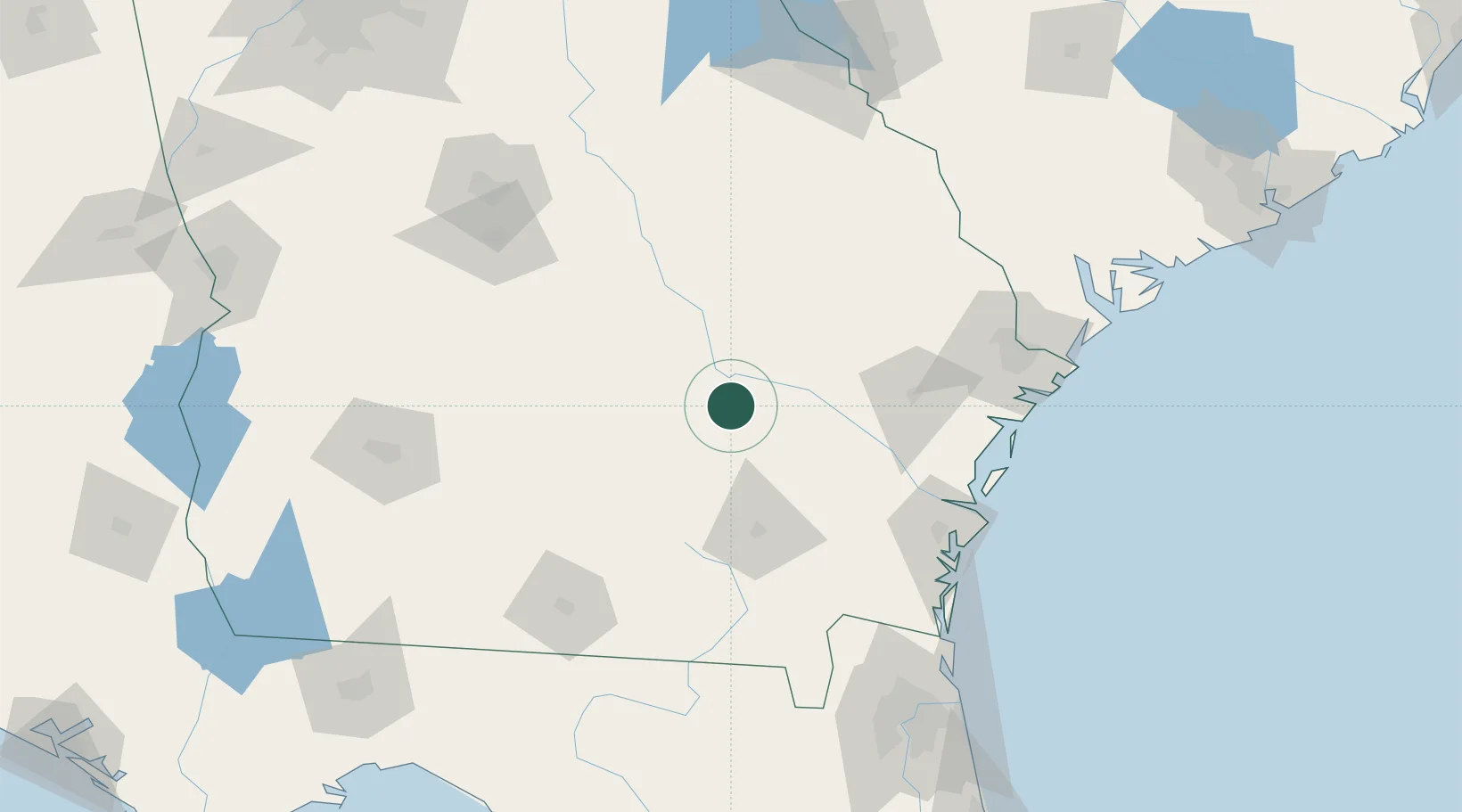
Nearby Logistics Neighbours

Cities
  1. 1Hazlehurst10 km
  2. 2Denton21 km
  3. 3Rock Springs29 km
  4. 4Surrency31 km
  5. 5Nicholls36 km
Nearest neighbours — logibook spatial index (haversine) over the source coordinates
Ports
  1. 1Darien113 km
  2. 2Brunswick120 km
  3. 3Savannah137 km
  4. 4Fernandina Beach160 km
  5. 5Port Royal182 km
Nearest neighbours — logibook spatial index (haversine) over the source coordinates
Airports
  1. 1Moody Air Force Base115 km
  2. 2Brunswick Golden Isles Airport116 km
  3. 3Savannah Hilton Head International Airport127 km
  4. 4St Simons Island Airport129 km
  5. 5Hunter Army Air Field130 km
Nearest neighbours — logibook spatial index (haversine) over the source coordinates
Trade Zones
  1. 1FTZ No. 144 Brunswick120 km
  2. 2FTZ No. 104 Savannah136 km
  3. 3FTZ No. 064 Jacksonville172 km
  4. 4FTZ No. 021 Dorchester County218 km
  5. 5FTZ No. 127 West Columbia274 km
Nearest neighbours — logibook spatial index (haversine) over the source coordinates
DatabookThe Record of Consolidated Knowledge
United States beyond logistics?
Browse databook

All Sources

LocationsUN/LOCODE
UN/LOCODE — free
LocationsGeoNames
CC BY 4.0
Portsthe NGA World Port Index
Public domain (US gov)
AirportsOurAirports
Public domain
Trade Zonesthe World Bank SEZ database
CC BY 4.0
Trade ZonesOpen Zone Map
CC BY
← United States locations