Medium airport · United States
Middle Georgia Regional AirportKMCN
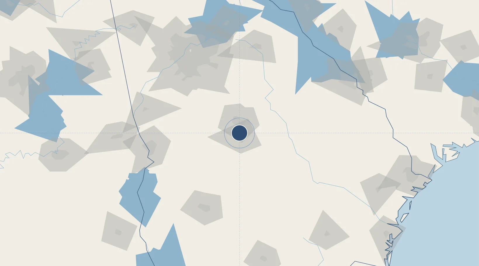
32.6928°, -83.6492°
6,500 ft
Longest runway
2
Runways
354 ft
Elevation
Runway & Layout

Radio Frequencies
ATIS
120.775 MHz
ASOS
120.775 MHz
TWR
128.2 MHz
MACON TWR
GND
121.65 MHz
CTAF
128.2 MHz
A/D
118.95 MHz
ATLANTA APP/DEP
RDO
122.2 MHz
MACON RDO
UNIC
122.95 MHz
UNICOM
Navaids
MC NDB Sofke 290 kHz
MCN VORTAC Macon 114.20 MHz
Runways · 2
| Runway | Dimensions | Surface | True heading | Lit |
|---|---|---|---|---|
| 05/23 | 6,500 × 150ft | Asphalt | 048° | ✓ |
| 14/32 | 5,000 × 150ft | Asphalt | 130° | ✓ |
Airport Specifications
IATA code
MCN
ICAO code
KMCN
Airport class
Medium airport
Scheduled service
Yes
Runway surface
Asphalt
Served city
Macon
Location
Nearby Logistics Neighbours
Airports
Cities
- 1Bonaire28 km
- 2Pitts29 km
- 3Clinchfield31 km
- 4Knoxville31 km
- 5Roberta33 km
Ports
- 1Savannah250 km
- 2Darien256 km
- 3Brunswick266 km
- 4Port Royal280 km
- 5Beaufort281 km
Trade Zones
- 1FTZ No. 026 Atlanta137 km
- 2FTZ No. 233 Dothan234 km
- 3FTZ No. 104 Savannah249 km
- 4FTZ No. 222 Montgomery252 km
- 5FTZ No. 144 Brunswick265 km
DatabookThe Record of Consolidated Knowledge
United States beyond logistics?