UN/LOCODE hub · United States
USMB9

Upper Malboro

38.8000°, -76.7500°
1
Transport functions

Transport Functions

Multimodal
UN/LOCODE

Hub Profile

Region
MD
GeoNames

Location

Location of USMB9
Natural Earth 10m (public domain) · MD · USMB9 · 38.80, -76.75GoogleOSMYandex

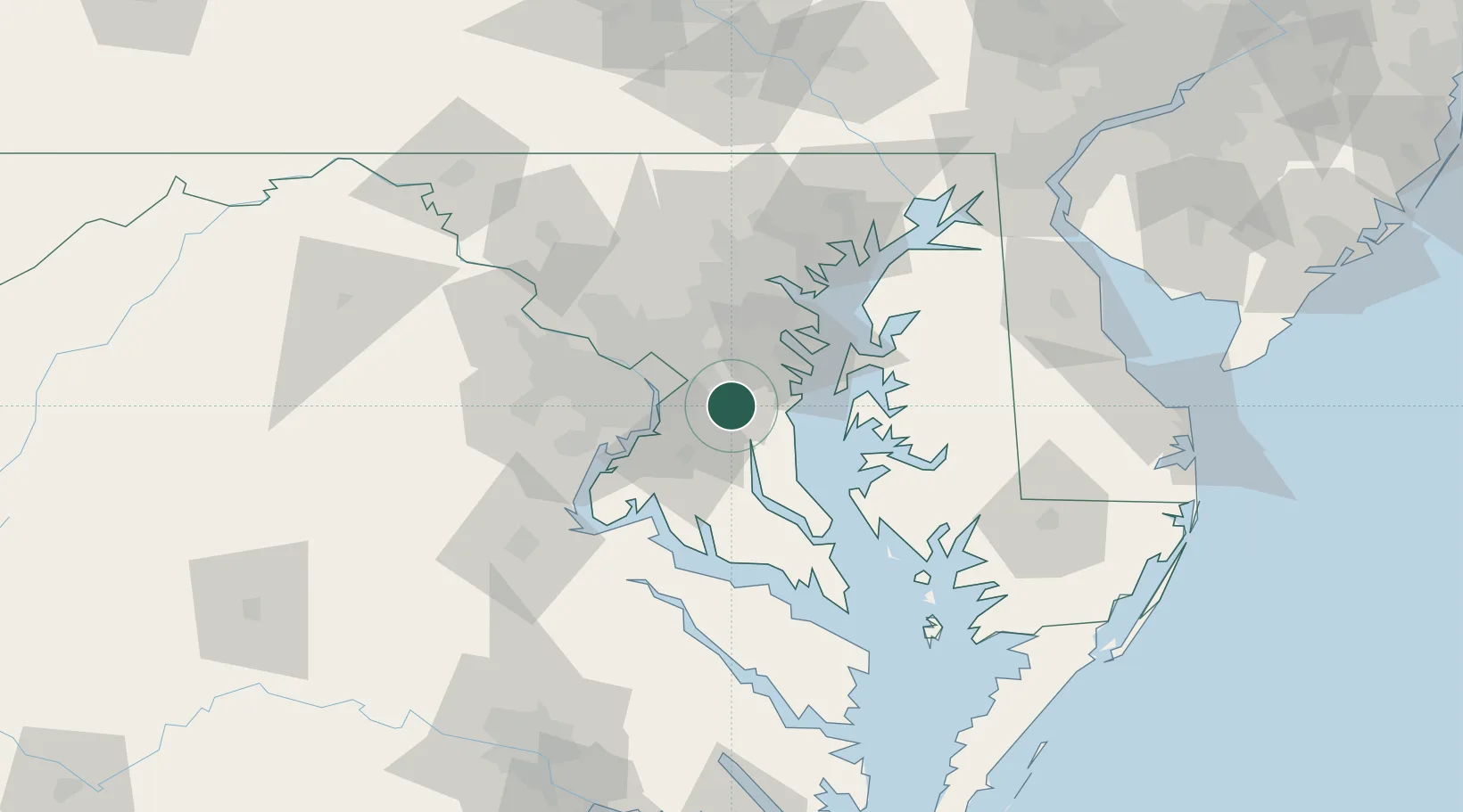
Nearby Logistics Neighbours

Cities
  1. 1Andrews AFB10 km
  2. 2District Heights13 km
  3. 3Harwood13 km
  4. 4Mitchellville13 km
  5. 5Largo13 km
Nearest neighbours — logibook spatial index (haversine) over the source coordinates
Ports
  1. 1Alexandria25 km
  2. 2Washington D.C.26 km
  3. 3Annapolis31 km
  4. 4Baltimore54 km
  5. 5Solomons Island60 km
Nearest neighbours — logibook spatial index (haversine) over the source coordinates
Airports
  1. 1Joint Base Andrews10 km
  2. 2Ronald Reagan Washington National Airport26 km
  3. 3Fort Meade Executive Airport32 km
  4. 4Davison Army Air Field39 km
  5. 5Baltimore/Washington International Thurgood Marshall Airport42 km
Nearest neighbours — logibook spatial index (haversine) over the source coordinates
Trade Zones
  1. 1FTZ No. 063 PrInce Georges County36 km
  2. 2FTZ No. 073 BWI Airport43 km
  3. 3FTZ No. 074 Baltimore54 km
  4. 4FTZ No. 137 Washington Dulles International Airport64 km
  5. 5FTZ No. 185 Culpeper County119 km
Nearest neighbours — logibook spatial index (haversine) over the source coordinates
DatabookThe Record of Consolidated Knowledge
United States beyond logistics?
Browse databook

All Sources

LocationsUN/LOCODE
UN/LOCODE — free
Portsthe NGA World Port Index
Public domain (US gov)
AirportsOurAirports
Public domain
Trade Zonesthe World Bank SEZ database
CC BY 4.0
Trade ZonesOpen Zone Map
CC BY
← United States locations