UN/LOCODE hub · United States
USXTV

Three Rivers

28.4500°, -98.1667°
1,971
Population
2
Transport functions

Transport Functions

Road
Multimodal
UN/LOCODE

Hub Profile

Place type
Populated place
GeoNames
Region
Texas
GeoNames
Population
1,971
GeoNames
Time zone
America/Chicago
GeoNames
Elevation
45 m
GeoNames

Location

Location of USXTV
Natural Earth 10m (public domain) · Texas · USXTV · 28.45, -98.17GoogleOSMYandex

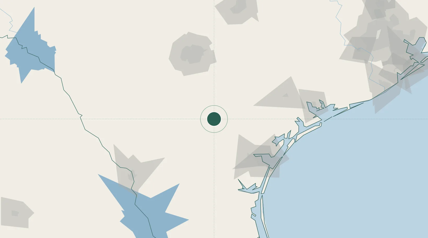
Nearby Logistics Neighbours

Cities
  1. 1Whitsett23 km
  2. 2Cadiz23 km
  3. 3Tilden38 km
  4. 4Mathis53 km
  5. 5Berclair58 km
Nearest neighbours — logibook spatial index (haversine) over the source coordinates
Ports
  1. 1Corpus Christi103 km
  2. 2Port Ingleside119 km
  3. 3Rockport120 km
  4. 4Port Aransas129 km
  5. 5Port Lavaca153 km
Nearest neighbours — logibook spatial index (haversine) over the source coordinates
Airports
  1. 1Alice International Airport80 km
  2. 2Corpus Christi International Airport100 km
  3. 3Stinson Municipal Airport103 km
  4. 4Kingsville Naval Air Station111 km
  5. 5Lackland Air Force Base111 km
Nearest neighbours — logibook spatial index (haversine) over the source coordinates
Trade Zones
  1. 1FTZ No. 122 Corpus Christi104 km
  2. 2FTZ No. 080 San Antonio130 km
  3. 3FTZ No. 094 Laredo162 km
  4. 4FTZ No. 183 Austin206 km
  5. 5FTZ No. 096 Eagle Pass230 km
Nearest neighbours — logibook spatial index (haversine) over the source coordinates
DatabookThe Record of Consolidated Knowledge
United States beyond logistics?
Browse databook

All Sources

LocationsUN/LOCODE
UN/LOCODE — free
LocationsGeoNames
CC BY 4.0
Portsthe NGA World Port Index
Public domain (US gov)
AirportsOurAirports
Public domain
Trade Zonesthe World Bank SEZ database
CC BY 4.0
Trade ZonesOpen Zone Map
CC BY
← United States locations