Transport Functions
Rail
Road
Hub Profile
Place type
Populated place
Region
Texas
Time zone
America/Chicago
Elevation
61 m
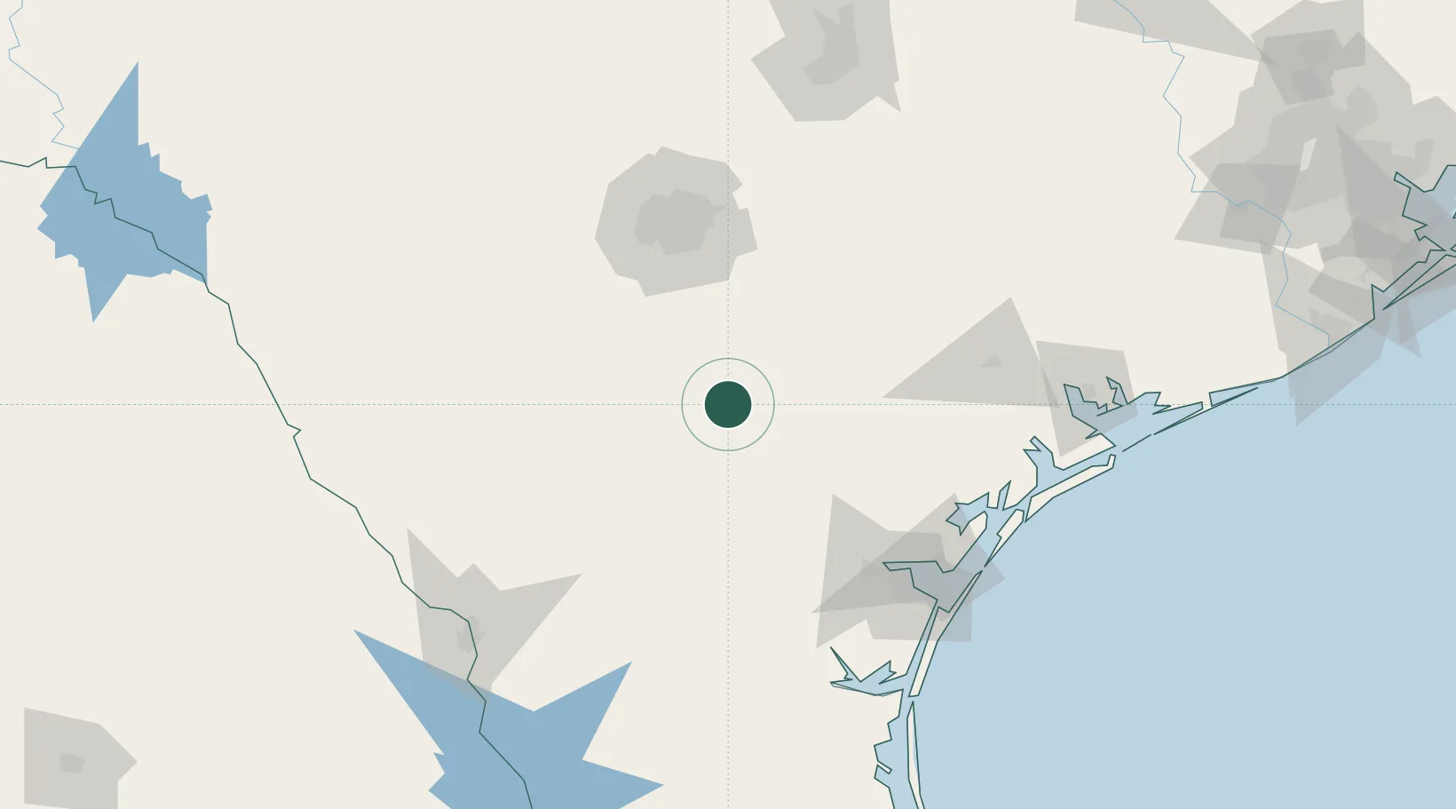
Location
Nearby Logistics Neighbours
Cities
- 1Three Rivers23 km
- 2Tilden33 km
- 3Cadiz41 km
- 4Pleasanton43 km
- 5Floresville57 km
Ports
- 1Corpus Christi124 km
- 2Rockport137 km
- 3Port Ingleside140 km
- 4Port Aransas149 km
- 5Port Lavaca161 km
Airports
- 1Stinson Municipal Airport81 km
- 2Lackland Air Force Base89 km
- 3Randolph Air Force Base100 km
- 4Alice International Airport102 km
- 5San Antonio International Airport102 km
Trade Zones
- 1FTZ No. 080 San Antonio107 km
- 2FTZ No. 122 Corpus Christi125 km
- 3FTZ No. 094 Laredo169 km
- 4FTZ No. 183 Austin189 km
- 5FTZ No. 096 Eagle Pass218 km
DatabookThe Record of Consolidated Knowledge
United States beyond logistics?