Transport Functions
Road
Multimodal
Hub Profile
Place type
Provincial seat
Region
Texas
Population
261
Time zone
America/Chicago
Elevation
76 m
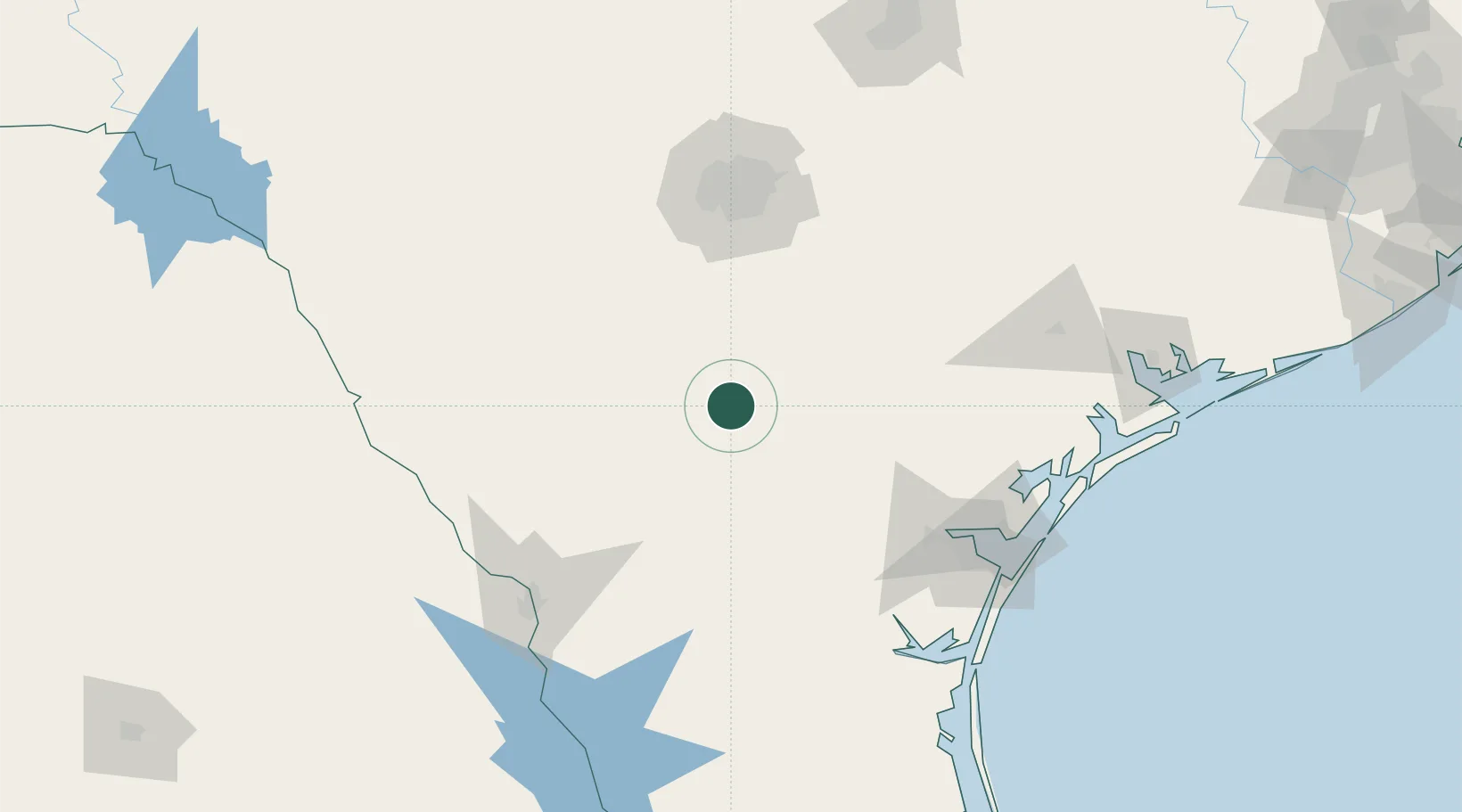
Location
Nearby Logistics Neighbours
Cities
- 1Whitsett33 km
- 2Three Rivers38 km
- 3Pleasanton56 km
- 4Cadiz61 km
- 5Dilley64 km
Ports
- 1Corpus Christi134 km
- 2Port Ingleside152 km
- 3Rockport155 km
- 4Port Aransas163 km
- 5Port Lavaca190 km
Airports
- 1Alice International Airport96 km
- 2Stinson Municipal Airport97 km
- 3Lackland Air Force Base102 km
- 4San Antonio International Airport119 km
- 5Randolph Air Force Base121 km
Trade Zones
- 1FTZ No. 080 San Antonio115 km
- 2FTZ No. 122 Corpus Christi134 km
- 3FTZ No. 094 Laredo136 km
- 4FTZ No. 096 Eagle Pass192 km
- 5FTZ No. 183 Austin215 km
DatabookThe Record of Consolidated Knowledge
United States beyond logistics?