Transport Functions
Multimodal
Hub Profile
Place type
Populated place
Region
Texas
Time zone
America/Chicago
Elevation
105 m
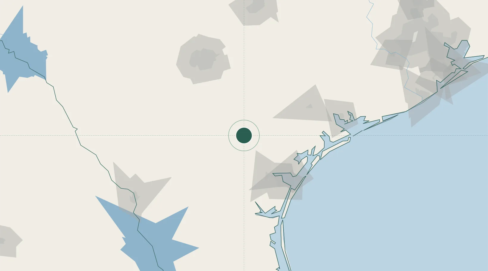
Location
Nearby Logistics Neighbours
Cities
- 1Three Rivers23 km
- 2Berclair36 km
- 3Mathis39 km
- 4Whitsett41 km
- 5Edroy56 km
Ports
- 1Corpus Christi85 km
- 2Rockport97 km
- 3Port Ingleside99 km
- 4Port Aransas108 km
- 5Port Lavaca131 km
Airports
Trade Zones
- 1FTZ No. 122 Corpus Christi85 km
- 2FTZ No. 080 San Antonio145 km
- 3FTZ No. 094 Laredo179 km
- 4FTZ No. 183 Austin206 km
- 5FTZ No. 095 Starr County243 km
DatabookThe Record of Consolidated Knowledge
United States beyond logistics?