Transport Functions
Rail
Road
Multimodal
Hub Profile
Place type
Populated place
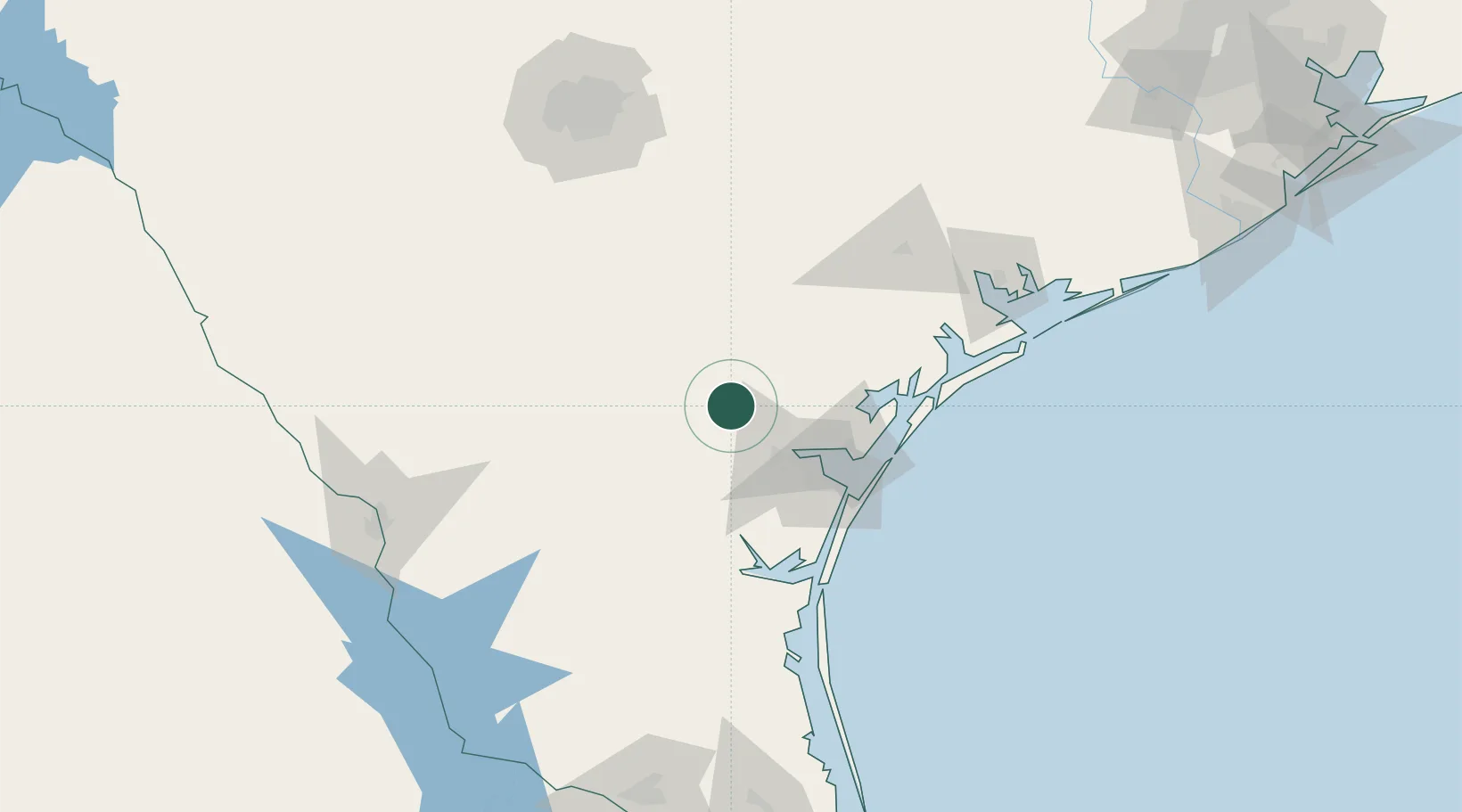
Region
Texas
Population
5,037
Time zone
America/Chicago
Elevation
49 m
Location
Nearby Logistics Neighbours
Cities
- 1Edroy18 km
- 2Odem27 km
- 3Sinton32 km
- 4Cadiz39 km
- 5Three Rivers53 km
Ports
- 1Corpus Christi51 km
- 2Port Ingleside69 km
- 3Rockport76 km
- 4Port Aransas80 km
- 5Port Lavaca132 km
Airports
Trade Zones
- 1FTZ No. 122 Corpus Christi51 km
- 2FTZ No. 094 Laredo173 km
- 3FTZ No. 080 San Antonio182 km
- 4FTZ No. 095 Starr County214 km
- 5FTZ No. 156 Weslaco215 km
DatabookThe Record of Consolidated Knowledge
United States beyond logistics?