UN/LOCODE hub · United States
USXTE
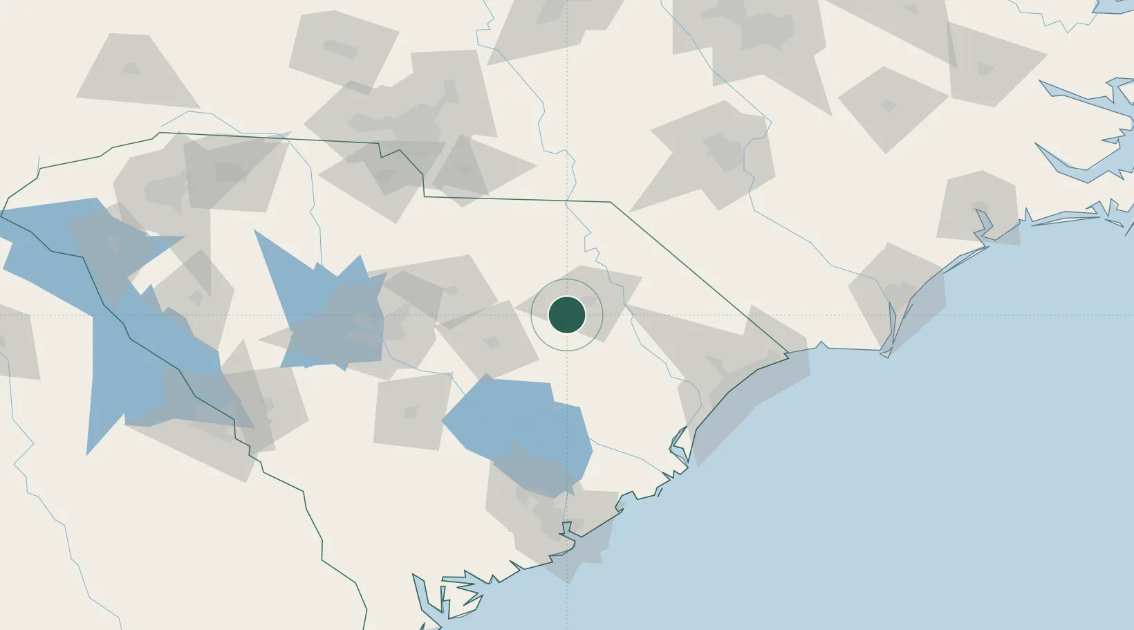
Timmonsville
34.1109°, -79.9180°
2,378
Population
3
Transport functions
Transport Functions
Port
Rail
Road
Hub Profile
Place type
Populated place
Region
South Carolina
Population
2,378
Time zone
America/New_York
Elevation
44 m
Logistics facilities
1
Location
Nearby Logistics Neighbours
Ports
- 1Georgetown101 km
- 2Charleston148 km
- 3Southport177 km
- 4Wilmington182 km
- 5Wrightsville194 km
Airports
Trade Zones
- 1FTZ No. 127 West Columbia112 km
- 2FTZ No. 021 Dorchester County137 km
- 3FTZ No. 057 Mecklenburg County166 km
- 4FTZ No. 093 Raleigh Durham220 km
- 5FTZ No. 214 Lenoir County222 km
DatabookThe Record of Consolidated Knowledge
United States beyond logistics?