Medium airport · United States

Mc Entire Joint National Guard BaseKMMT
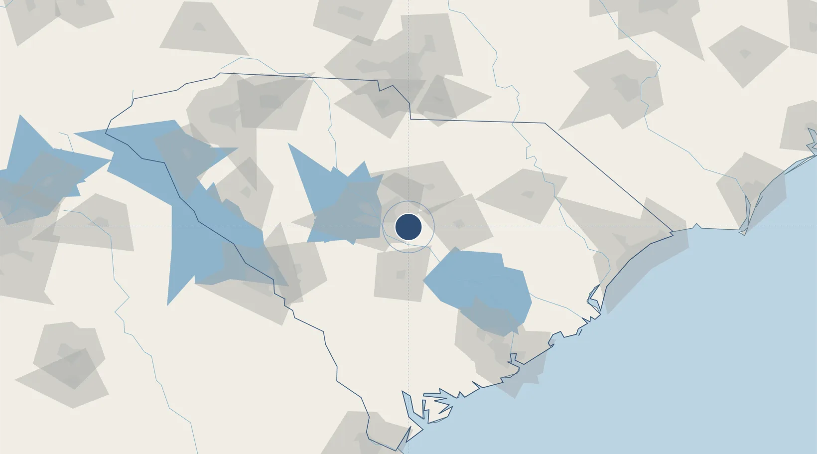
33.9208°, -80.8013°
9,012 ft
Longest runway
2
Runways
254 ft
Elevation

Runway & Layout

Mc Entire Joint National Guard Base runway & taxiway layout
Runway & taxiway layout — OpenStreetMap (ODbL) / OurAirports

Radio Frequencies

TWR
132.4 MHz
GND
127.625 MHz
CTAF
132.4 MHz
A/D
125.4 MHz
SHAW APP/DEP
MISC
41.3 MHz
ARNG OPS PTD
OPS
125.12 MHz
ANG OPS PTD
PMSV
34.25 MHz
PMSV METRO
PTD
29.83 MHz
OurAirports

Runways · 2

RunwayDimensions SurfaceTrue headingLit
14/32 9,012 × 150ft Asphalt / concrete 134°
05/23 2,030 × 90ft Asphalt 044°
OurAirports

Airport Specifications

IATA code
MMT
OurAirports
ICAO code
KMMT
OurAirports
Airport class
Medium airport
OurAirports
Scheduled service
No
OurAirports
Runway surface
Asphalt / concrete
OurAirports
Served city
Eastover
OurAirports

Location

Location of KMMT
Natural Earth 10m (public domain) · South Carolina · KMMT · 33.92, -80.80GoogleOSMYandex

Nearby Logistics Neighbours

Airports
  1. 1Jim Hamilton L.B. Owens Airport19 km
  2. 2Columbia Metropolitan Airport30 km
  3. 3Shaw Air Force Base31 km
  4. 4Orangeburg Municipal Airport52 km
  5. 5Florence Regional Airport104 km
Nearest neighbours — logibook spatial index (haversine) over the source coordinates
Cities
  1. 1Hopkins7 km
  2. 2Gadsden11 km
  3. 3Fort Jackson22 km
  4. 4Shaw Air Force Base30 km
  5. 5Swansea35 km
Nearest neighbours — logibook spatial index (haversine) over the source coordinates
Ports
  1. 1Charleston151 km
  2. 2Georgetown153 km
  3. 3Beaufort166 km
  4. 4Port Royal173 km
  5. 5Savannah206 km
Nearest neighbours — logibook spatial index (haversine) over the source coordinates
Trade Zones
  1. 1FTZ No. 127 West Columbia31 km
  2. 2FTZ No. 021 Dorchester County94 km
  3. 3FTZ No. 057 Mecklenburg County151 km
  4. 4FTZ No. 038 Spartanburg County171 km
  5. 5FTZ No. 104 Savannah205 km
Nearest neighbours — logibook spatial index (haversine) over the source coordinates
DatabookThe Record of Consolidated Knowledge
United States beyond logistics?
Browse databook

All Sources

AirportsOurAirports
Public domain
Portsthe NGA World Port Index
Public domain (US gov)
LocationsUN/LOCODE
UN/LOCODE — free
Trade Zonesthe World Bank SEZ database
CC BY 4.0
Trade ZonesOpen Zone Map
CC BY
InfrastructureOpenStreetMap
ODbL 1.0
← United States airports