UN/LOCODE hub · United States
USZJH

Coward

33.9667°, -79.7333°
750
Population
1
Transport functions

Transport Functions

Multimodal
UN/LOCODE

Hub Profile

Place type
Populated place
GeoNames
Region
South Carolina
GeoNames
Population
750
GeoNames
Time zone
America/New_York
GeoNames
Elevation
25 m
GeoNames

Location

Location of USZJH
Natural Earth 10m (public domain) · South Carolina · USZJH · 33.97, -79.73GoogleOSMYandex

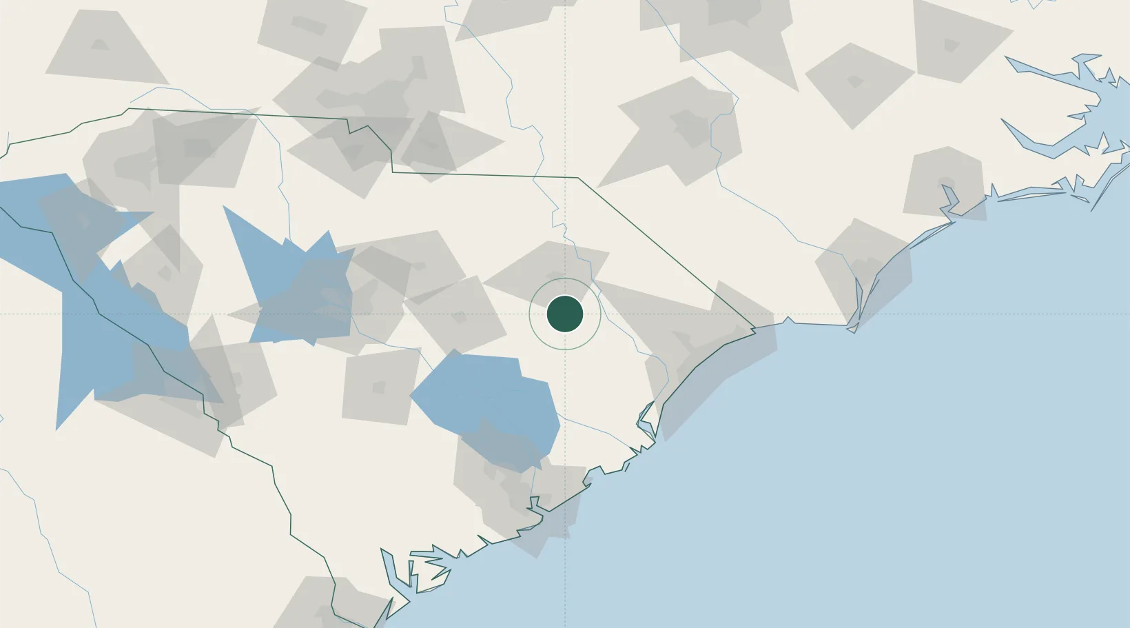
Nearby Logistics Neighbours

Cities
  1. 1Effingham9 km
  2. 2Pamplico16 km
  3. 3Timmonsville23 km
  4. 4Lynchburg32 km
  5. 5Gable38 km
Nearest neighbours — logibook spatial index (haversine) over the source coordinates
Ports
  1. 1Georgetown79 km
  2. 2Charleston133 km
  3. 3Southport159 km
  4. 4Wilmington167 km
  5. 5Wrightsville179 km
Nearest neighbours — logibook spatial index (haversine) over the source coordinates
Airports
  1. 1Florence Regional Airport24 km
  2. 2Shaw Air Force Base68 km
  3. 3Myrtle Beach International Airport81 km
  4. 4Lumberton Regional Airport95 km
  5. 5Grand Strand Airport95 km
Nearest neighbours — logibook spatial index (haversine) over the source coordinates
Trade Zones
  1. 1FTZ No. 127 West Columbia129 km
  2. 2FTZ No. 021 Dorchester County135 km
  3. 3FTZ No. 057 Mecklenburg County190 km
  4. 4FTZ No. 214 Lenoir County218 km
  5. 5FTZ No. 093 Raleigh Durham228 km
Nearest neighbours — logibook spatial index (haversine) over the source coordinates
DatabookThe Record of Consolidated Knowledge
United States beyond logistics?
Browse databook

All Sources

LocationsUN/LOCODE
UN/LOCODE — free
LocationsGeoNames
CC BY 4.0
Portsthe NGA World Port Index
Public domain (US gov)
AirportsOurAirports
Public domain
Trade Zonesthe World Bank SEZ database
CC BY 4.0
Trade ZonesOpen Zone Map
CC BY
← United States locations