Transport Functions
Road
Multimodal
Hub Profile
Place type
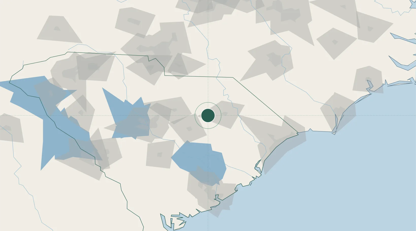
Populated place
Region
South Carolina
Population
971
Time zone
America/New_York
Elevation
52 m
Location
Nearby Logistics Neighbours
Cities
- 1Lynchburg13 km
- 2Timmonsville15 km
- 3Effingham32 km
- 4Dalzell37 km
- 5Coward38 km
Ports
- 1Georgetown115 km
- 2Charleston154 km
- 3Southport191 km
- 4Wilmington195 km
- 5Beaufort201 km
Airports
Trade Zones
- 1FTZ No. 127 West Columbia100 km
- 2FTZ No. 021 Dorchester County135 km
- 3FTZ No. 057 Mecklenburg County153 km
- 4FTZ No. 038 Spartanburg County215 km
- 5FTZ No. 093 Raleigh Durham220 km
DatabookThe Record of Consolidated Knowledge
United States beyond logistics?