Medium airport · United States
Jim Hamilton L.B. Owens AirportKCUB
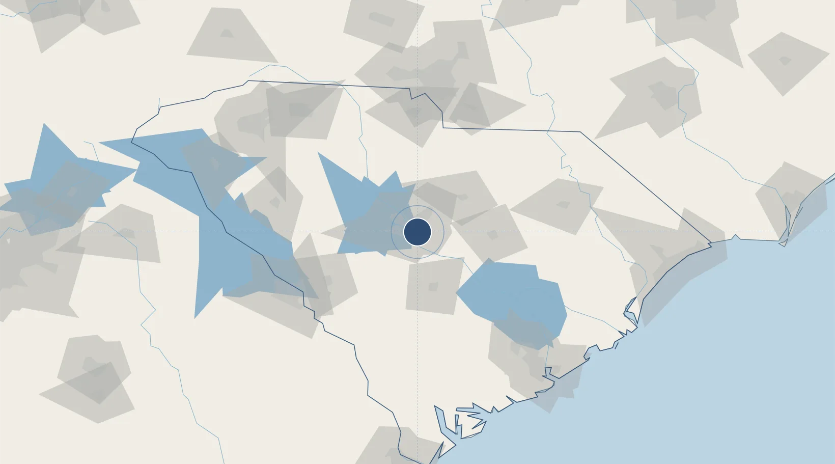
33.9705°, -80.9952°
5,011 ft
Longest runway
1
Runways
193 ft
Elevation
Runway & Layout

Radio Frequencies
ASOS
119.675 MHz
CLD
124.4 MHz
CLNC DEL
A/D
133.4 MHz
APP/DEP
OPS
122.8 MHz
MIL OPS
RDO
114.7 MHz
ANDERSON RDO
UNIC
122.8 MHz
CTAF/UNICOM
Runways · 1
| Runway | Dimensions | Surface | True heading | Lit |
|---|---|---|---|---|
| 13/31 | 5,011 × 75ft | Asphalt | 127° | ✓ |
Airport Specifications
IATA code
CUB
ICAO code
KCUB
Airport class
Medium airport
Scheduled service
No
Runway surface
Asphalt
Served city
Columbia
Location
Nearby Logistics Neighbours
Airports
- 1Columbia Metropolitan Airport12 km
- 2Mc Entire Joint National Guard Base19 km
- 3Shaw Air Force Base48 km
- 4Orangeburg Municipal Airport59 km
- 5Daniel Field112 km
Cities
- 1Fort Jackson7 km
- 2Hopkins14 km
- 3Gadsden27 km
- 4Swansea28 km
- 5Pelion33 km
Ports
- 1Charleston166 km
- 2Georgetown172 km
- 3Beaufort174 km
- 4Port Royal181 km
- 5Savannah210 km
Trade Zones
- 1FTZ No. 127 West Columbia13 km
- 2FTZ No. 021 Dorchester County103 km
- 3FTZ No. 057 Mecklenburg County143 km
- 4FTZ No. 038 Spartanburg County154 km
- 5FTZ No. 104 Savannah209 km
DatabookThe Record of Consolidated Knowledge
United States beyond logistics?