Transport Functions
Road
Multimodal
Hub Profile
Place type
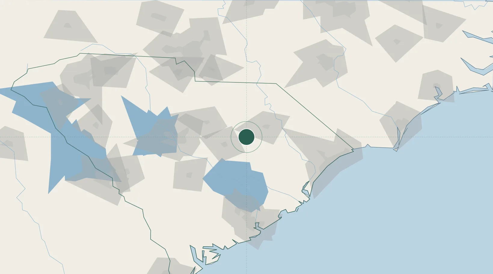
Populated place
Region
South Carolina
Population
354
Time zone
America/New_York
Elevation
46 m
Location
Nearby Logistics Neighbours
Cities
- 1Lamar13 km
- 2Timmonsville15 km
- 3Gable26 km
- 4Effingham29 km
- 5Coward32 km
Ports
- 1Georgetown105 km
- 2Charleston142 km
- 3Beaufort188 km
- 4Southport190 km
- 5Port Royal196 km
Airports
Trade Zones
DatabookThe Record of Consolidated Knowledge
United States beyond logistics?