Transport Functions
Road
Multimodal
Hub Profile
Place type
Populated place
Region
Alabama
Population
1,934
Time zone
America/Chicago
Elevation
127 m
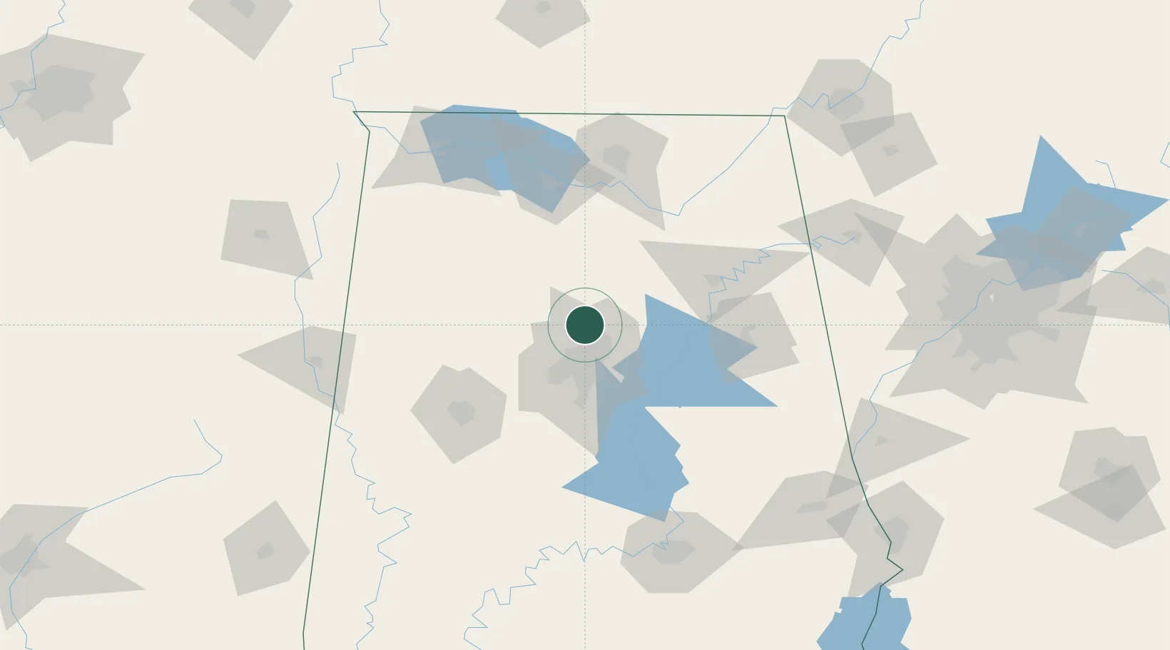
Location
Nearby Logistics Neighbours
Cities
- 1Warrior9 km
- 2Fultondale13 km
- 3Sumiton23 km
- 4Irondale24 km
- 5Dora26 km
Ports
- 1Port Of Memphis343 km
- 2Mobile361 km
- 3Pensacola373 km
- 4Pascagoula411 km
- 5Panama City415 km
Airports
Trade Zones
- 1FTZ No. 098 Birmingham24 km
- 2FTZ No. 083 Huntsville101 km
- 3FTZ No. 270 Lawrence County101 km
- 4FTZ No. 265 Conroe (Montgomery County)104 km
- 5FTZ No. 222 Montgomery158 km
DatabookThe Record of Consolidated Knowledge
United States beyond logistics?