Transport Functions
Port
Rail
Road
Hub Profile
Place type
Populated place
Region
Alabama
Population
2,418
Time zone
America/Chicago
Elevation
157 m
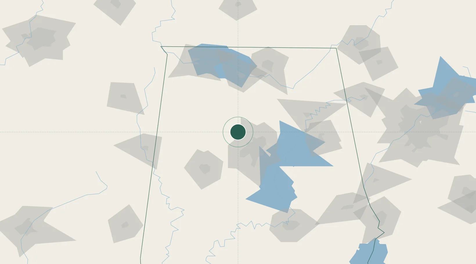
Location
Nearby Logistics Neighbours
Cities
- 1Dora4 km
- 2Jasper21 km
- 3Warrior23 km
- 4Morris23 km
- 5Fultondale28 km
Ports
- 1Port Of Memphis321 km
- 2Mobile355 km
- 3Pensacola373 km
- 4Pascagoula404 km
- 5Biloxi412 km
Airports
Trade Zones
- 1FTZ No. 098 Birmingham34 km
- 2FTZ No. 270 Lawrence County100 km
- 3FTZ No. 265 Conroe (Montgomery County)102 km
- 4FTZ No. 083 Huntsville103 km
- 5FTZ No. 222 Montgomery168 km
DatabookThe Record of Consolidated Knowledge
United States beyond logistics?