UN/LOCODE hub · United States
USRRP

Warrior

33.8167°, -86.8167°
3,199
Population
2
Transport functions

Transport Functions

Road
Multimodal
UN/LOCODE

Hub Profile

Place type
Populated place
GeoNames
Region
Alabama
GeoNames
Population
3,199
GeoNames
Time zone
America/Chicago
GeoNames
Elevation
160 m
GeoNames

Location

Location of USRRP
Natural Earth 10m (public domain) · Alabama · USRRP · 33.82, -86.82GoogleOSMYandex

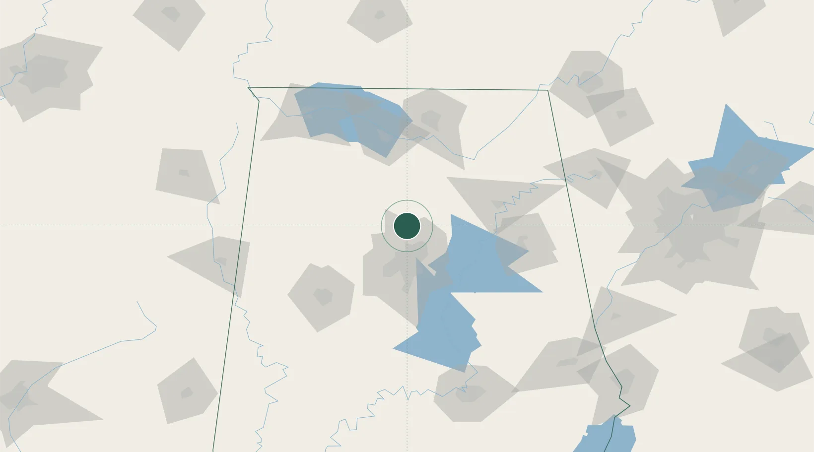
Nearby Logistics Neighbours

Cities
  1. 1Morris9 km
  2. 2Fultondale22 km
  3. 3Sumiton23 km
  4. 4Garden City23 km
  5. 5Dora26 km
Nearest neighbours — logibook spatial index (haversine) over the source coordinates
Ports
  1. 1Port Of Memphis337 km
  2. 2Mobile369 km
  3. 3Pensacola382 km
  4. 4Pascagoula419 km
  5. 5Panama City424 km
Nearest neighbours — logibook spatial index (haversine) over the source coordinates
Airports
  1. 1Birmingham-Shuttlesworth International Airport29 km
  2. 2Shelby County Airport71 km
  3. 3Huntsville International Airport91 km
  4. 4Anniston Regional Airport92 km
  5. 5Redstone Army Air Field97 km
Nearest neighbours — logibook spatial index (haversine) over the source coordinates
Trade Zones
  1. 1FTZ No. 098 Birmingham33 km
  2. 2FTZ No. 270 Lawrence County92 km
  3. 3FTZ No. 083 Huntsville92 km
  4. 4FTZ No. 265 Conroe (Montgomery County)95 km
  5. 5FTZ No. 222 Montgomery167 km
Nearest neighbours — logibook spatial index (haversine) over the source coordinates
DatabookThe Record of Consolidated Knowledge
United States beyond logistics?
Browse databook

All Sources

LocationsUN/LOCODE
UN/LOCODE — free
LocationsGeoNames
CC BY 4.0
Portsthe NGA World Port Index
Public domain (US gov)
AirportsOurAirports
Public domain
Trade Zonesthe World Bank SEZ database
CC BY 4.0
Trade ZonesOpen Zone Map
CC BY
← United States locations