UN/LOCODE hub · United States
USFTD
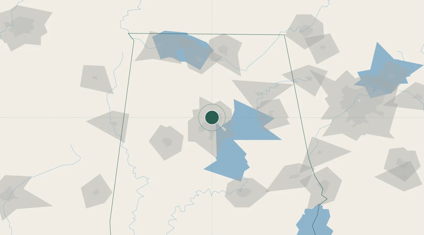
Fultondale
33.6167°, -86.8000°
9,048
Population
3
Transport functions
Transport Functions
Rail
Road
Multimodal
Hub Profile
Place type
Populated place
Region
Alabama
Population
9,048
Time zone
America/Chicago
Elevation
186 m
Location
Nearby Logistics Neighbours
Ports
- 1Port Of Memphis349 km
- 2Mobile349 km
- 3Pensacola360 km
- 4Pascagoula400 km
- 5Panama City402 km
Airports
Trade Zones
- 1FTZ No. 098 Birmingham11 km
- 2FTZ No. 270 Lawrence County114 km
- 3FTZ No. 083 Huntsville114 km
- 4FTZ No. 265 Conroe (Montgomery County)117 km
- 5FTZ No. 222 Montgomery146 km
DatabookThe Record of Consolidated Knowledge
United States beyond logistics?