UN/LOCODE hub · United States
USZIR
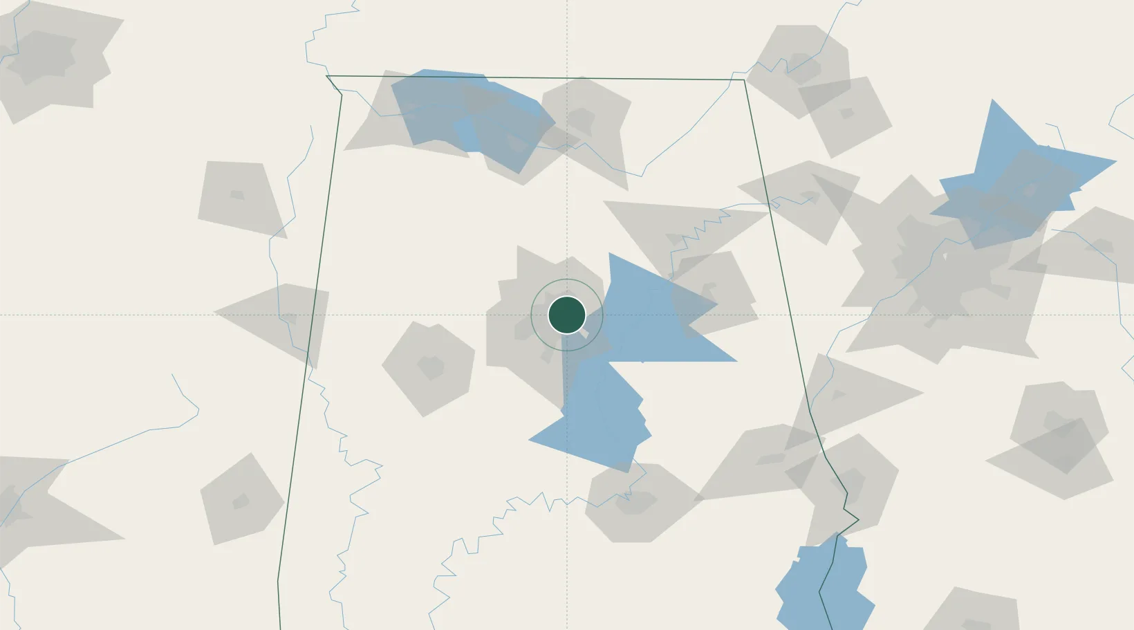
Irondale
33.5333°, -86.7000°
12,423
Population
3
Transport functions
Transport Functions
Rail
Road
Multimodal
Hub Profile
Place type
Populated place
Region
Alabama
Population
12,423
Time zone
America/Chicago
Elevation
226 m
Location
Nearby Logistics Neighbours
Cities
- 1Homewood11 km
- 2Fultondale13 km
- 3Chelsea24 km
- 4Pelham24 km
- 5Morris24 km
Ports
- 1Mobile344 km
- 2Pensacola352 km
- 3Port Of Memphis361 km
- 4Panama City391 km
- 5Pascagoula395 km
Airports
Trade Zones
- 1FTZ No. 098 Birmingham10 km
- 2FTZ No. 083 Huntsville124 km
- 3FTZ No. 270 Lawrence County125 km
- 4FTZ No. 265 Conroe (Montgomery County)128 km
- 5FTZ No. 222 Montgomery134 km
DatabookThe Record of Consolidated Knowledge
United States beyond logistics?