UN/LOCODE hub · United States
USXRC
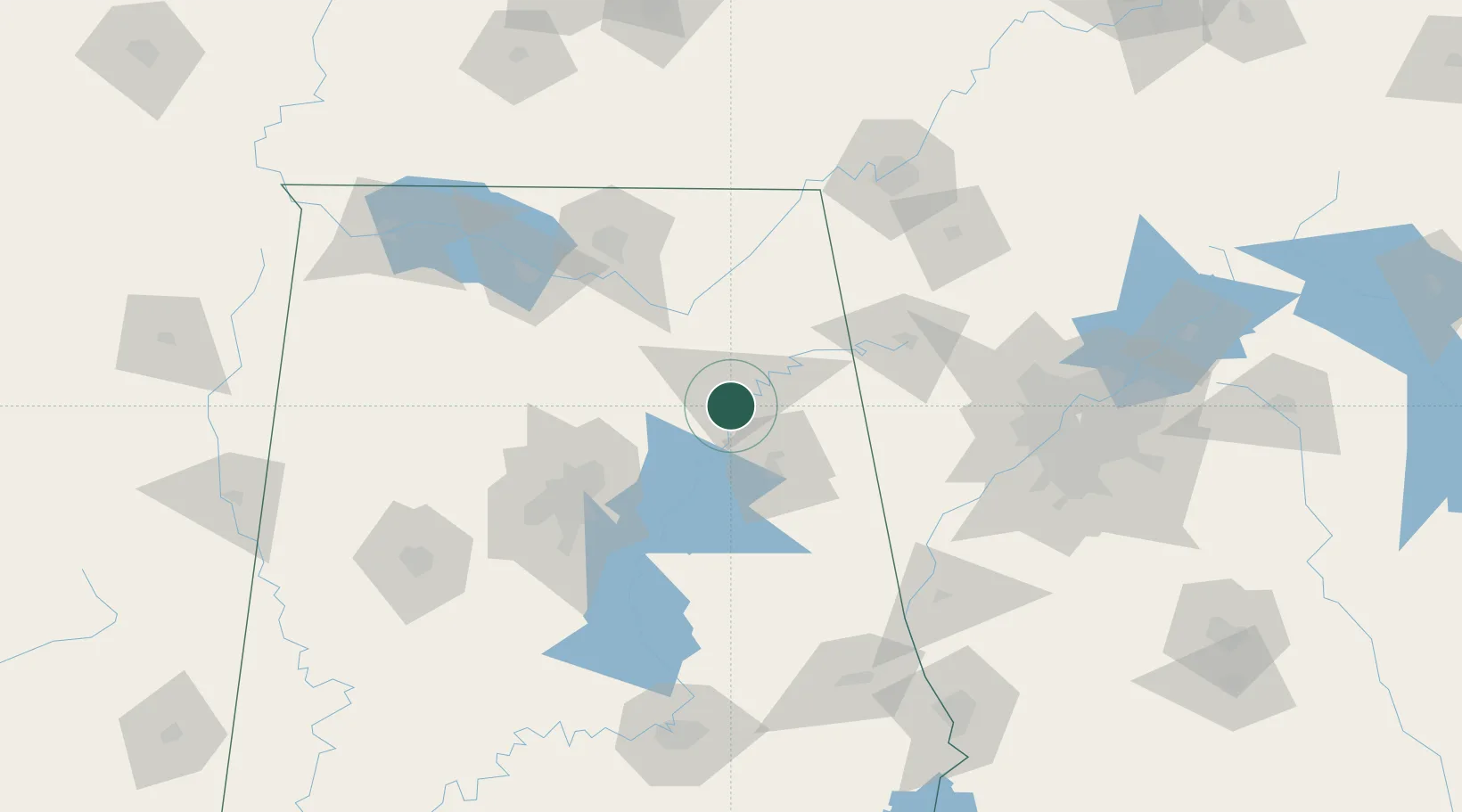
Rainbow City
33.9500°, -86.0333°
9,580
Population
2
Transport functions
Transport Functions
Port
Road
Hub Profile
Place type
Populated place
Region
Alabama
Population
9,580
Time zone
America/Chicago
Elevation
170 m
Location
Nearby Logistics Neighbours
Cities
- 1Glencoe11 km
- 2Steele14 km
- 3Wellington20 km
- 4Ragland26 km
- 5Boaz30 km
Ports
- 1Port Of Memphis399 km
- 2Pensacola410 km
- 3Mobile413 km
- 4Panama City426 km
- 5Port St Joe465 km
Airports
Trade Zones
- 1FTZ No. 098 Birmingham86 km
- 2FTZ No. 083 Huntsville103 km
- 3FTZ No. 270 Lawrence County112 km
- 4FTZ No. 265 Conroe (Montgomery County)116 km
- 5FTZ No. 134 Chattanooga141 km
DatabookThe Record of Consolidated Knowledge
United States beyond logistics?