Transport Functions
Rail
Road
Multimodal
Hub Profile
Place type
Populated place
Region
Alabama
Population
9,688
Time zone
America/Chicago
Elevation
325 m
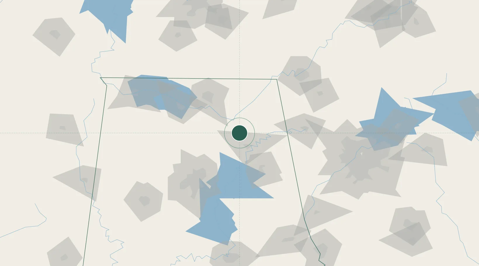
Location
Nearby Logistics Neighbours
Cities
- 1Guntersville21 km
- 2Collinsville28 km
- 3Steele30 km
- 4Rainbow City30 km
- 5Glencoe35 km
Ports
- 1Port Of Memphis380 km
- 2Mobile432 km
- 3Pensacola434 km
- 4Panama City455 km
- 5Pascagoula485 km
Airports
Trade Zones
DatabookThe Record of Consolidated Knowledge
United States beyond logistics?