Transport Functions
Rail
Road
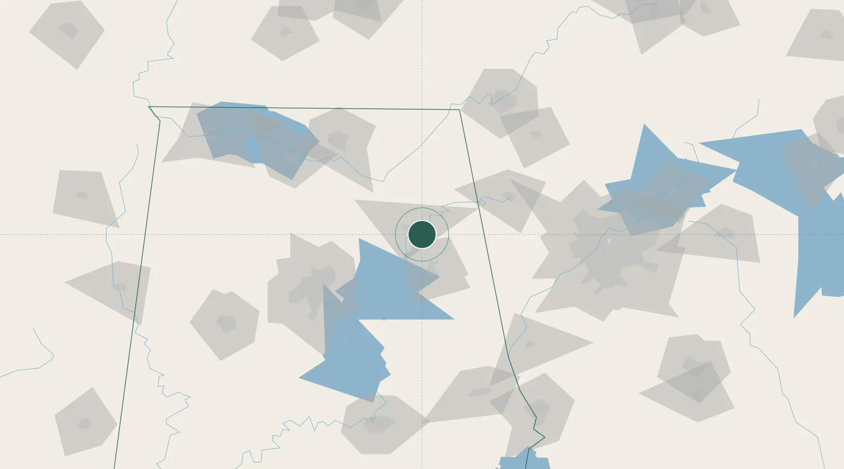
Hub Profile
Place type
Populated place
Region
Alabama
Population
5,153
Time zone
America/Chicago
Elevation
172 m
Location
Nearby Logistics Neighbours
Cities
- 1Rainbow City11 km
- 2Wellington15 km
- 3Steele25 km
- 4Piedmont29 km
- 5Ragland32 km
Ports
- 1Pensacola413 km
- 2Mobile418 km
- 3Panama City425 km
- 4Port St Joe463 km
- 5Carrabelle471 km
Airports
Trade Zones
- 1FTZ No. 098 Birmingham96 km
- 2FTZ No. 083 Huntsville110 km
- 3FTZ No. 270 Lawrence County120 km
- 4FTZ No. 265 Conroe (Montgomery County)124 km
- 5FTZ No. 134 Chattanooga137 km
DatabookThe Record of Consolidated Knowledge
United States beyond logistics?