Medium airport · United States

Redstone Army Air FieldKHUA
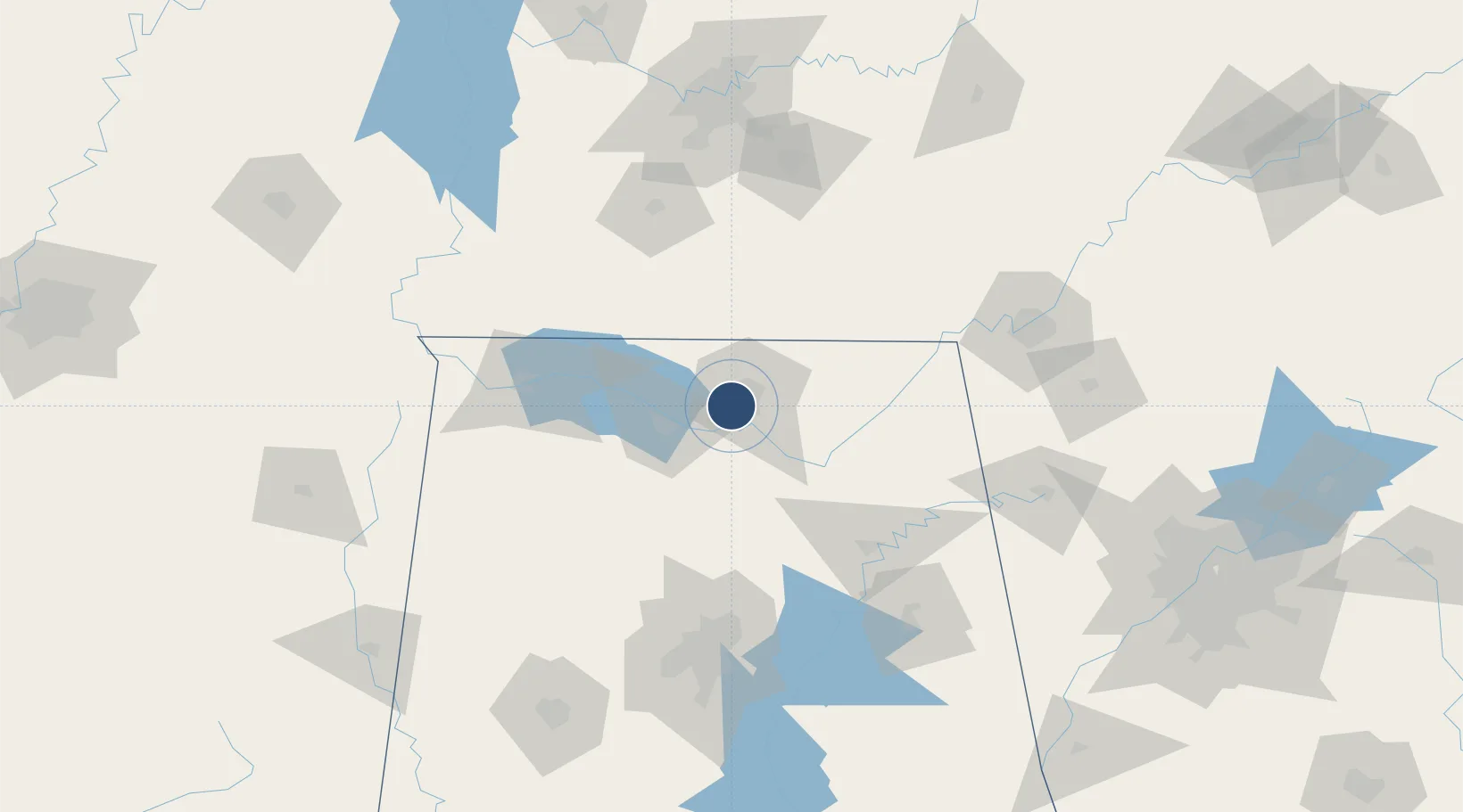
34.6787°, -86.6848°
7,300 ft
Longest runway
1
Runways
684 ft
Elevation

Runway & Layout

Redstone Army Air Field runway & taxiway layout
Runway & taxiway layout — OpenStreetMap (ODbL) / OurAirports

Radio Frequencies

TWR
126.95 MHz
CTAF
126.95 MHz
A/D
118.05 MHz
HUNTSVILLE APP/DEP
GCA
124.8 MHz
OPS
126.2 MHz
BASE OPS
OurAirports

Navaids

HUA NDB Redstone 287 kHz
RQZ VORTAC Rocket 112.20 MHz
OurAirports

Runways · 1

RunwayDimensions SurfaceTrue headingLit
17/35 7,300 × 150ft Asphalt 169°
OurAirports

Airport Specifications

IATA code
HUA
OurAirports
ICAO code
KHUA
OurAirports
Airport class
Medium airport
OurAirports
Scheduled service
No
OurAirports
Runway surface
Asphalt
OurAirports
Served city
Redstone Arsnl Huntsville
OurAirports

Location

Location of KHUA
Natural Earth 10m (public domain) · Alabama · KHUA · 34.68, -86.68GoogleOSMYandex

Nearby Logistics Neighbours

Airports
  1. 1Huntsville International Airport10 km
  2. 2Northwest Alabama Regional Airport85 km
  3. 3Birmingham-Shuttlesworth International Airport124 km
  4. 4Chattanooga Metropolitan Airport (Lovell Field)141 km
  5. 5Anniston Regional Airport143 km
Nearest neighbours — logibook spatial index (haversine) over the source coordinates
Cities
  1. 1Rainbow9 km
  2. 2Belle Mina17 km
  3. 3Brownsboro24 km
  4. 4Toney25 km
  5. 5Tanner27 km
Nearest neighbours — logibook spatial index (haversine) over the source coordinates
Ports
  1. 1Port Of Memphis321 km
  2. 2Mobile464 km
  3. 3Pensacola478 km
  4. 4Pascagoula513 km
  5. 5Panama City515 km
Nearest neighbours — logibook spatial index (haversine) over the source coordinates
Trade Zones
  1. 1FTZ No. 083 Huntsville8 km
  2. 2FTZ No. 270 Lawrence County22 km
  3. 3FTZ No. 265 Conroe (Montgomery County)25 km
  4. 4FTZ No. 134 Chattanooga128 km
  5. 5FTZ No. 098 Birmingham129 km
Nearest neighbours — logibook spatial index (haversine) over the source coordinates
DatabookThe Record of Consolidated Knowledge
United States beyond logistics?
Browse databook

All Sources

AirportsOurAirports
Public domain
Portsthe NGA World Port Index
Public domain (US gov)
LocationsUN/LOCODE
UN/LOCODE — free
Trade Zonesthe World Bank SEZ database
CC BY 4.0
Trade ZonesOpen Zone Map
CC BY
InfrastructureOpenStreetMap
ODbL 1.0
← United States airports