UN/LOCODE hub · United States
USWVF
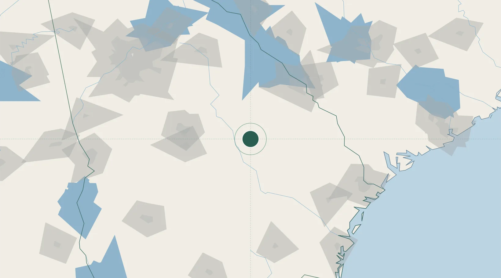
Wrightsville
32.7167°, -82.7167°
3,642
Population
2
Transport functions
Transport Functions
Rail
Road
Hub Profile
Place type
Provincial seat
Region
Georgia
Population
3,642
Time zone
America/New_York
Elevation
105 m
Location
Nearby Logistics Neighbours
Ports
- 1Savannah169 km
- 2Darien193 km
- 3Port Royal195 km
- 4Beaufort195 km
- 5Brunswick209 km
Airports
- 1Robins Air Force Base82 km
- 2Middle Georgia Regional Airport87 km
- 3Augusta Regional At Bush Field101 km
- 4Daniel Field105 km
- 5Athens Ben Epps Airport148 km
Trade Zones
- 1FTZ No. 104 Savannah167 km
- 2FTZ No. 021 Dorchester County191 km
- 3FTZ No. 026 Atlanta194 km
- 4FTZ No. 127 West Columbia205 km
- 5FTZ No. 144 Brunswick208 km
DatabookThe Record of Consolidated Knowledge
United States beyond logistics?