Medium airport · United States
Daniel FieldKDNL
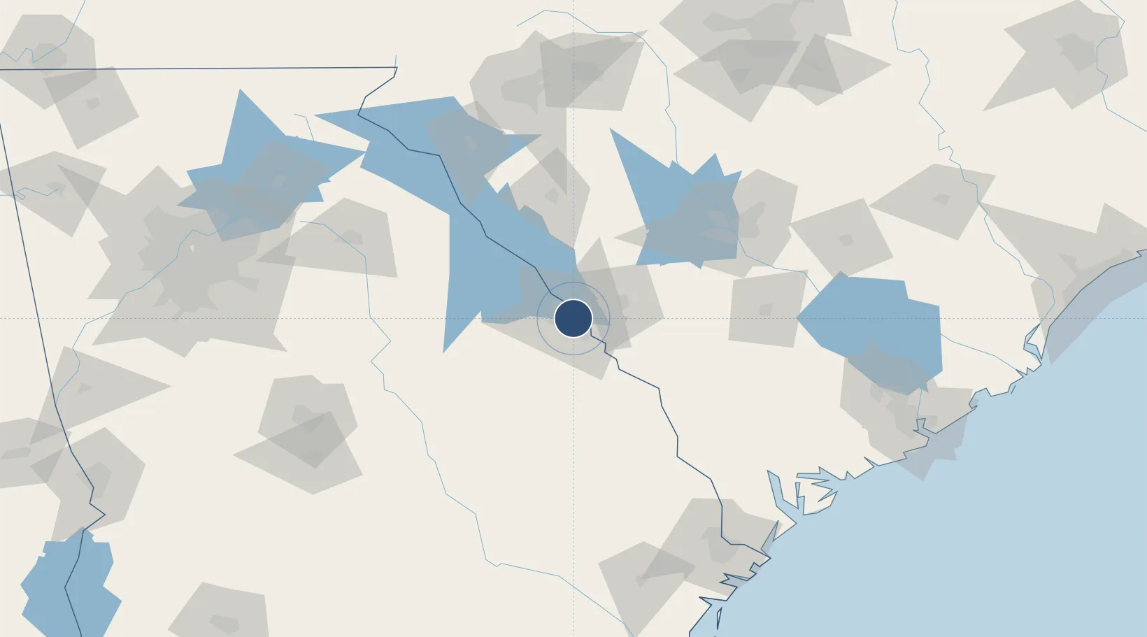
33.4665°, -82.0394°
4,002 ft
Longest runway
2
Runways
423 ft
Elevation
Runway & Layout

Radio Frequencies
ASOS
135.275 MHz
CLD
128.1 MHz
CLNC DEL
A/D
126.8 MHz
AUGUSTA APP/DEP
RDO
122.3 MHz
MACON RDO
UNIC
123.05 MHz
CTAF/UNICOM
Runways · 2
| Runway | Dimensions | Surface | True heading | Lit |
|---|---|---|---|---|
| 05/23 | 4,002 × 100ft | Asphalt | 045° | ✓ |
| 11/29 | 3,733 × 100ft | Asphalt | 104° | ✓ |
Airport Specifications
IATA code
DNL
ICAO code
KDNL
Airport class
Medium airport
Scheduled service
No
Runway surface
Asphalt
Served city
Augusta
Location
Nearby Logistics Neighbours
Airports
Cities
- 1North Augusta5 km
- 2Martinez6 km
- 3Fort Gordon12 km
- 4Grovetown14 km
- 5Dearing32 km
Ports
- 1Beaufort172 km
- 2Port Royal176 km
- 3Savannah178 km
- 4Charleston212 km
- 5Darien240 km
Trade Zones
- 1FTZ No. 127 West Columbia103 km
- 2FTZ No. 021 Dorchester County131 km
- 3FTZ No. 038 Spartanburg County159 km
- 4FTZ No. 104 Savannah177 km
- 5FTZ No. 057 Mecklenburg County218 km
DatabookThe Record of Consolidated Knowledge
United States beyond logistics?