Transport Functions
Road
Multimodal
Hub Profile
Place type
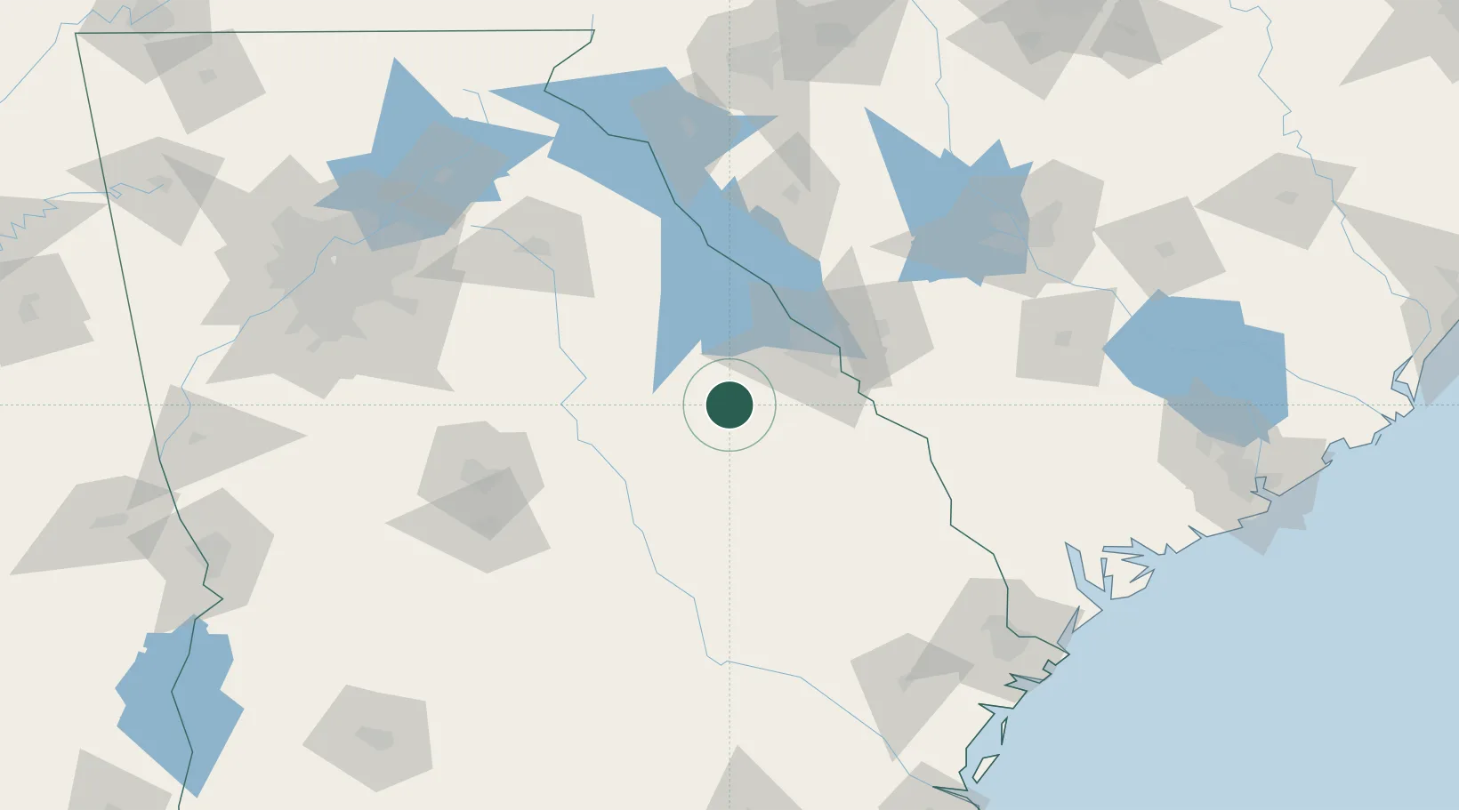
Populated place
Region
Georgia
Population
405
Time zone
America/New_York
Elevation
134 m
Location
Nearby Logistics Neighbours
Cities
- 1Dearing25 km
- 2Warrenton28 km
- 3Fort Gordon38 km
- 4Grovetown40 km
- 5Tennille44 km
Ports
- 1Savannah179 km
- 2Beaufort189 km
- 3Port Royal191 km
- 4Darien226 km
- 5Charleston242 km
Airports
- 1Daniel Field50 km
- 2Augusta Regional At Bush Field50 km
- 3Athens Ben Epps Airport115 km
- 4Robins Air Force Base122 km
- 5Middle Georgia Regional Airport124 km
Trade Zones
- 1FTZ No. 127 West Columbia152 km
- 2FTZ No. 021 Dorchester County164 km
- 3FTZ No. 104 Savannah178 km
- 4FTZ No. 038 Spartanburg County189 km
- 5FTZ No. 026 Atlanta189 km
DatabookThe Record of Consolidated Knowledge
United States beyond logistics?