Transport Functions
Rail
Road
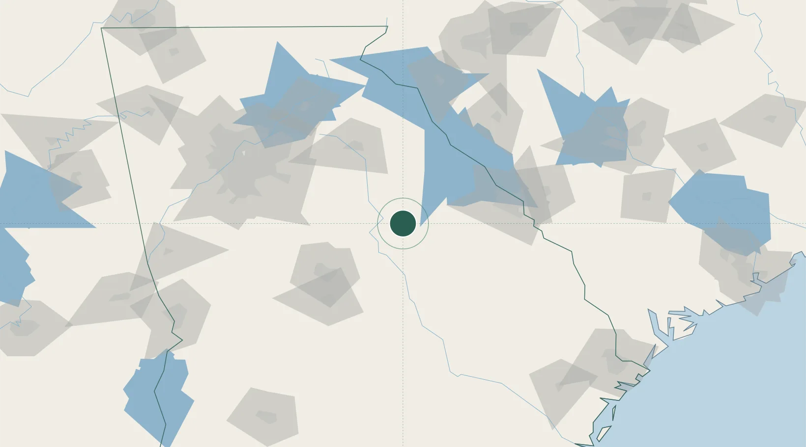
Hub Profile
Place type
Provincial seat
Region
Georgia
Population
1,293
Time zone
America/New_York
Elevation
171 m
Location
Nearby Logistics Neighbours
Cities
- 1Crawfordville31 km
- 2Warrenton34 km
- 3Tennille42 km
- 4Stapleton49 km
- 5Washington55 km
Ports
- 1Savannah222 km
- 2Beaufort236 km
- 3Port Royal238 km
- 4Darien258 km
- 5Brunswick275 km
Airports
- 1Athens Ben Epps Airport81 km
- 2Daniel Field90 km
- 3Middle Georgia Regional Airport90 km
- 4Robins Air Force Base91 km
- 5Augusta Regional At Bush Field95 km
Trade Zones
- 1FTZ No. 026 Atlanta141 km
- 2FTZ No. 127 West Columbia189 km
- 3FTZ No. 038 Spartanburg County191 km
- 4FTZ No. 021 Dorchester County212 km
- 5FTZ No. 104 Savannah221 km
DatabookThe Record of Consolidated Knowledge
United States beyond logistics?