Medium airport · United States
Athens Ben Epps AirportKAHN
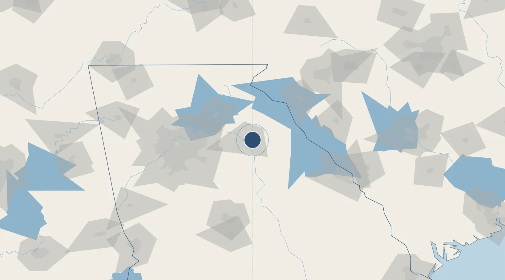
33.9488°, -83.3256°
6,122 ft
Longest runway
2
Runways
808 ft
Elevation
Runway & Layout

Radio Frequencies
ASOS
132.875 MHz
TWR
126.3 MHz
GND
121.8 MHz
CLD
127.5 MHz
ATLANTA CNTR
CTAF
126.3 MHz
A/D
127.5 MHz
ATLANTA APP/DEP
RDO
109.6 MHz
MACON RDO
UNIC
122.95 MHz
UNICOM
Navaids
AHN VORTAC Athens 109.60 MHz
BJT NDB Bulldog 221 kHz
Runways · 2
| Runway | Dimensions | Surface | True heading | Lit |
|---|---|---|---|---|
| 09/27 | 6,122 × 100ft | Asphalt | 088° | ✓ |
| 02/20 | 3,995 × 100ft | Asphalt | 021° | ✓ |
Airport Specifications
IATA code
AHN
ICAO code
KAHN
Airport class
Medium airport
Scheduled service
No
Runway surface
Asphalt
Served city
Athens
Location
Nearby Logistics Neighbours
Airports
Cities
- 1Winterville6 km
- 2Bishop18 km
- 3Bogart19 km
- 4Statham24 km
- 5Commerce30 km
Ports
- 1Savannah295 km
- 2Beaufort299 km
- 3Port Royal302 km
- 4Darien337 km
- 5Charleston342 km
Trade Zones
- 1FTZ No. 026 Atlanta101 km
- 2FTZ No. 038 Spartanburg County144 km
- 3FTZ No. 127 West Columbia203 km
- 4FTZ No. 134 Chattanooga227 km
- 5FTZ No. 148 Knoxville241 km
DatabookThe Record of Consolidated Knowledge
United States beyond logistics?