UN/LOCODE hub · United States
USELE
Tennille
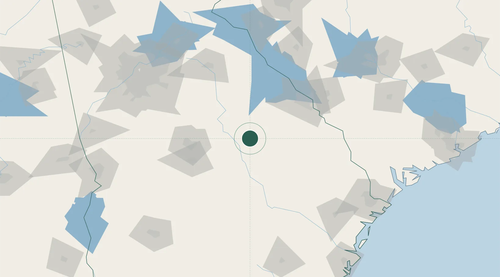
32.9333°, -82.8167°
1,773
Population
3
Transport functions
Transport Functions
Rail
Road
Multimodal
Hub Profile
Place type
Populated place
Region
Georgia
Population
1,773
Time zone
America/New_York
Elevation
142 m
Location
Nearby Logistics Neighbours
Cities
- 1Wrightsville26 km
- 2Sparta42 km
- 3Stapleton44 km
- 4Warrenton54 km
- 5Pitts64 km
Ports
- 1Savannah188 km
- 2Beaufort209 km
- 3Port Royal209 km
- 4Darien218 km
- 5Brunswick234 km
Airports
- 1Robins Air Force Base80 km
- 2Middle Georgia Regional Airport82 km
- 3Augusta Regional At Bush Field93 km
- 4Daniel Field94 km
- 5Athens Ben Epps Airport122 km
Trade Zones
- 1FTZ No. 026 Atlanta173 km
- 2FTZ No. 104 Savannah187 km
- 3FTZ No. 127 West Columbia196 km
- 4FTZ No. 021 Dorchester County197 km
- 5FTZ No. 038 Spartanburg County224 km
DatabookThe Record of Consolidated Knowledge
United States beyond logistics?