UN/LOCODE hub · United States
USPT5
Pleasanton
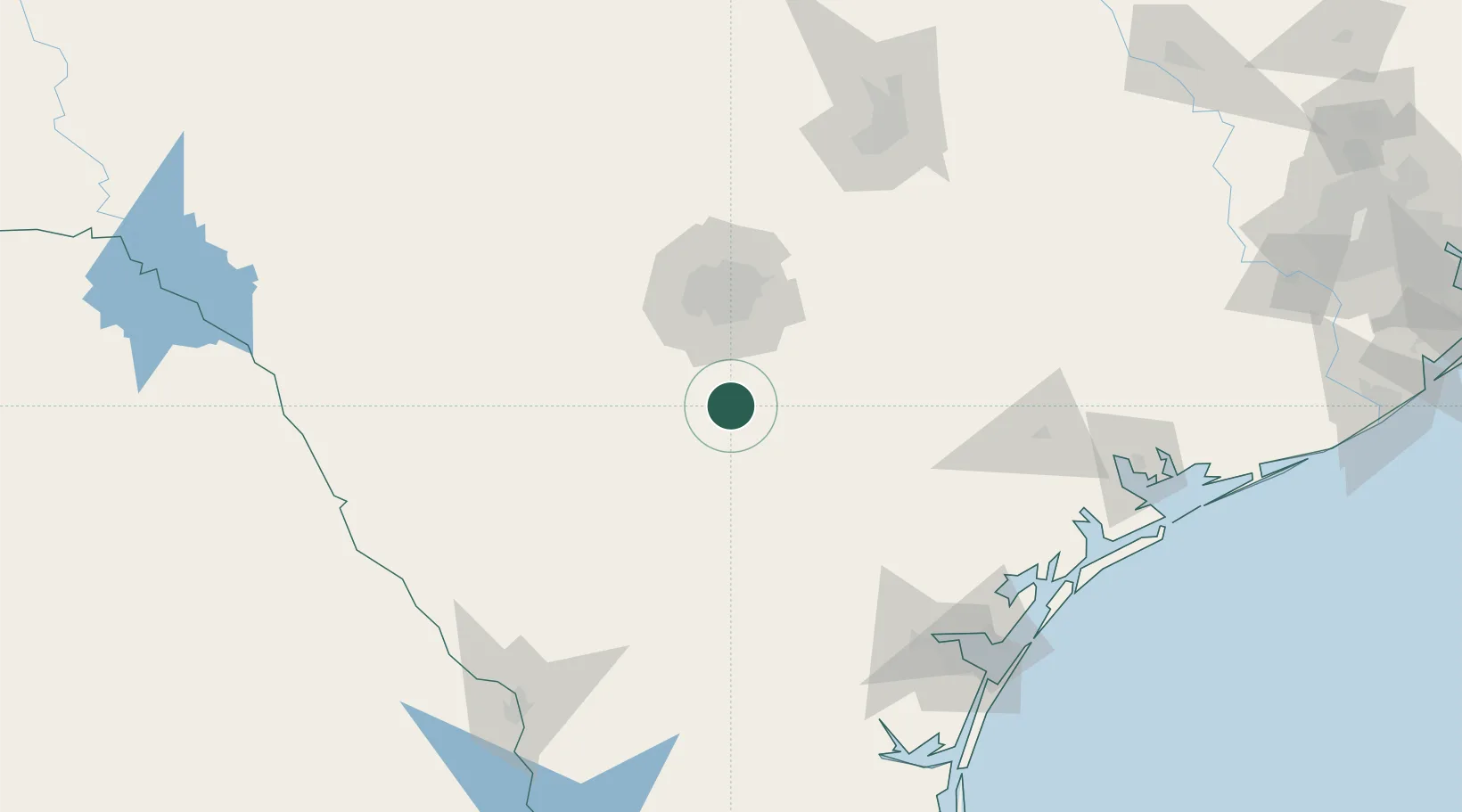
28.9667°, -98.4833°
9,829
Population
2
Transport functions
Transport Functions
Rail
Road
Hub Profile
Place type
Populated place
Region
Texas
Population
9,829
Time zone
America/Chicago
Elevation
110 m
Location
Nearby Logistics Neighbours
Cities
- 1Elmendorf35 km
- 2Von Ormy36 km
- 3Floresville37 km
- 4Whitsett43 km
- 5Lackland City49 km
Ports
- 1Corpus Christi166 km
- 2Rockport175 km
- 3Port Ingleside180 km
- 4Port Lavaca186 km
- 5Port Aransas189 km
Airports
Trade Zones
- 1FTZ No. 080 San Antonio65 km
- 2FTZ No. 183 Austin161 km
- 3FTZ No. 122 Corpus Christi167 km
- 4FTZ No. 094 Laredo185 km
- 5FTZ No. 096 Eagle Pass199 km
DatabookThe Record of Consolidated Knowledge
United States beyond logistics?