UN/LOCODE hub · United States
USFL6
Floresville
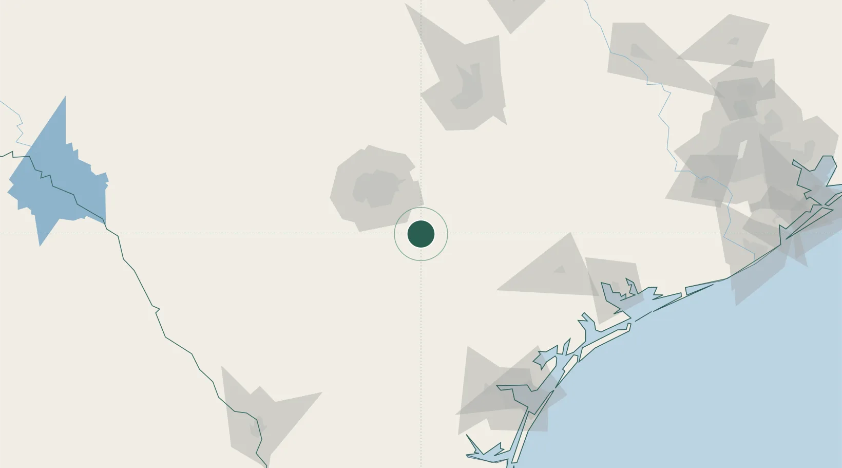
29.1333°, -98.1500°
7,321
Population
2
Transport functions
Transport Functions
Rail
Road
Hub Profile
Place type
Provincial seat
Region
Texas
Population
7,321
Time zone
America/Chicago
Elevation
119 m
Location
Nearby Logistics Neighbours
Cities
- 1Elmendorf21 km
- 2La Vernia25 km
- 3Pleasanton37 km
- 4Von Ormy44 km
- 5Schertz48 km
Ports
- 1Port Lavaca160 km
- 2Corpus Christi164 km
- 3Rockport164 km
- 4Port Ingleside174 km
- 5Port Aransas180 km
Airports
Trade Zones
- 1FTZ No. 080 San Antonio74 km
- 2FTZ No. 183 Austin132 km
- 3FTZ No. 122 Corpus Christi164 km
- 4FTZ No. 094 Laredo218 km
- 5FTZ No. 096 Eagle Pass234 km
DatabookThe Record of Consolidated Knowledge
United States beyond logistics?