Transport Functions
Port
Rail
Road
Hub Profile
Place type
Provincial seat
Region
Nebraska
Population
1,543
Time zone
America/Chicago
Elevation
448 m
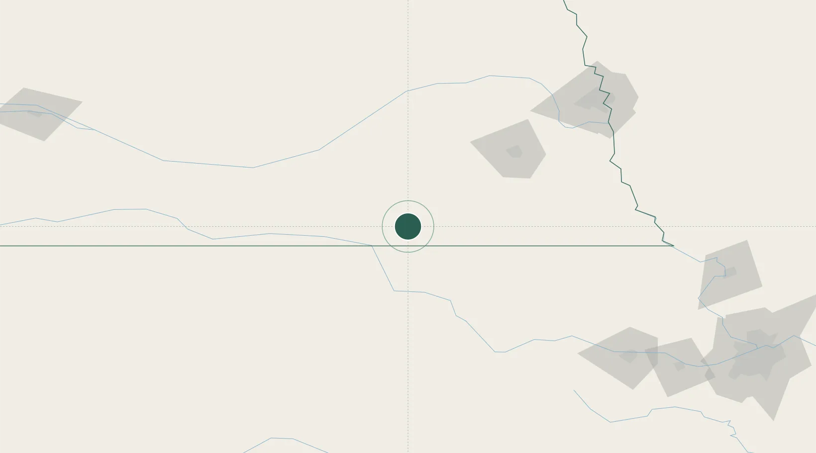
Location
Nearby Logistics Neighbours
Cities
- 1Deshler11 km
- 2Superior43 km
- 3Washington61 km
- 4De Witt63 km
- 5Wilber64 km
Ports
- 1Superior856 km
- 2Duluth857 km
- 3Port Of Memphis866 km
- 4Kaukauna894 km
- 5Ashland898 km
Airports
- 1Lincoln Airport104 km
- 2Central Nebraska Regional Airport107 km
- 3Kearney Regional Airport134 km
- 4Manhattan Regional Airport139 km
- 5Marshall Army Air Field143 km
Trade Zones
- 1FTZ No. 059 Lincoln96 km
- 2FTZ No. 133 Quad-Cities, Iowa Illinois109 km
- 3FTZ No. 017 Kansas City264 km
- 4FTZ No. 015 Kansas City275 km
- 5FTZ No. 161 Sedgwick County275 km
DatabookThe Record of Consolidated Knowledge
United States beyond logistics?