UN/LOCODE hub · United States
USBMV
Bessemer
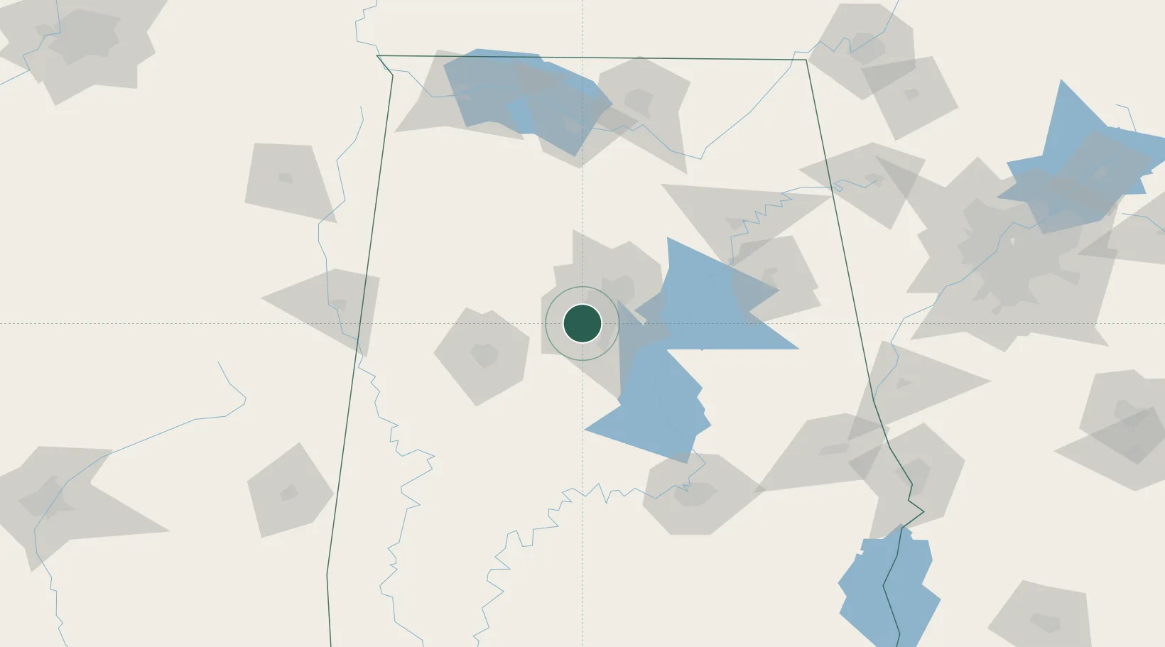
33.4000°, -86.9500°
26,730
Population
2
Transport functions
Transport Functions
Rail
Road
Hub Profile
Place type
Populated place
Region
Alabama
Population
26,730
Time zone
America/Chicago
Elevation
155 m
Location
Nearby Logistics Neighbours
Ports
- 1Mobile322 km
- 2Pensacola335 km
- 3Port Of Memphis349 km
- 4Pascagoula372 km
- 5Biloxi382 km
Airports
Trade Zones
- 1FTZ No. 098 Birmingham19 km
- 2FTZ No. 222 Montgomery129 km
- 3FTZ No. 270 Lawrence County138 km
- 4FTZ No. 083 Huntsville139 km
- 5FTZ No. 265 Conroe (Montgomery County)140 km
DatabookThe Record of Consolidated Knowledge
United States beyond logistics?