Transport Functions
Rail
Road
Multimodal
Hub Profile
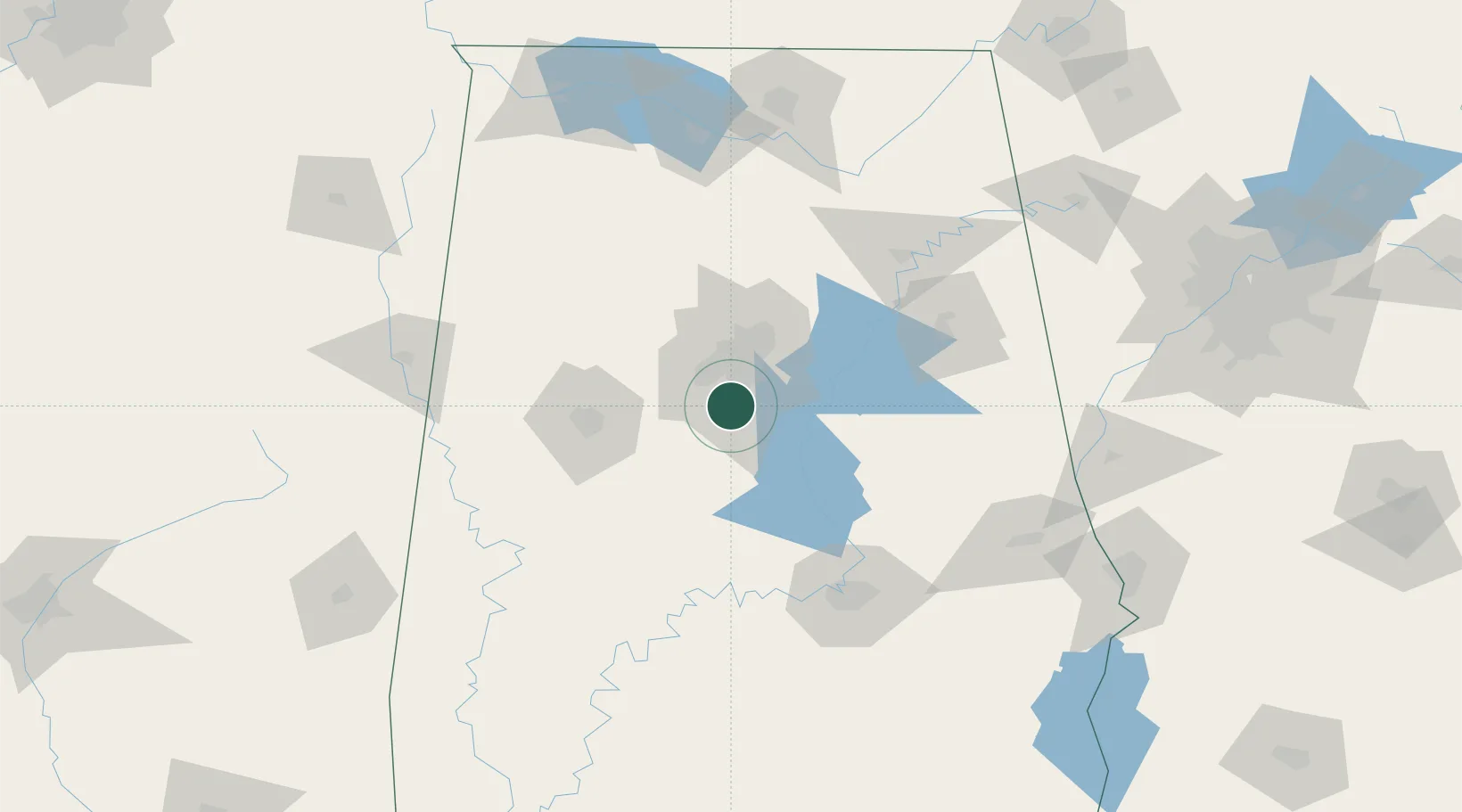
Place type
Populated place
Region
Alabama
Population
18,264
Time zone
America/Chicago
Elevation
127 m
Location
Nearby Logistics Neighbours
Ports
- 1Mobile313 km
- 2Pensacola323 km
- 3Port Of Memphis364 km
- 4Pascagoula364 km
- 5Panama City368 km
Airports
Trade Zones
- 1FTZ No. 098 Birmingham27 km
- 2FTZ No. 222 Montgomery113 km
- 3FTZ No. 270 Lawrence County151 km
- 4FTZ No. 083 Huntsville152 km
- 5FTZ No. 265 Conroe (Montgomery County)154 km
DatabookThe Record of Consolidated Knowledge
United States beyond logistics?