Transport Functions
Road
Multimodal
Hub Profile
Place type
Populated place
Region
Mississippi
Time zone
America/Chicago
Elevation
85 m
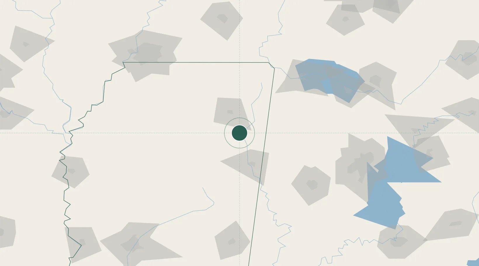
Location
Nearby Logistics Neighbours
Cities
- 1Aberdeen17 km
- 2Prairie20 km
- 3Lackey22 km
- 4Plantersville26 km
- 5Hickory Flat, Chicasaw27 km
Ports
- 1Port Of Memphis189 km
- 2Mobile368 km
- 3Biloxi399 km
- 4Pascagoula402 km
- 5Gulfport405 km
Airports
Trade Zones
- 1FTZ No. 265 Conroe (Montgomery County)170 km
- 2FTZ No. 262 Southaven171 km
- 3FTZ No. 270 Lawrence County172 km
- 4FTZ No. 098 Birmingham173 km
- 5FTZ No. 083 Huntsville185 km
DatabookThe Record of Consolidated Knowledge
United States beyond logistics?