Medium airport · United States

Tupelo Regional AirportKTUP
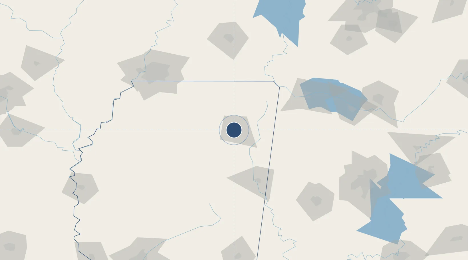
34.2681°, -88.7699°
7,150 ft
Longest runway
1
Runways
346 ft
Elevation

Runway & Layout

Tupelo Regional Airport runway & taxiway layout
Runway & taxiway layout — OpenStreetMap (ODbL) / OurAirports

Radio Frequencies

ASOS
133.525 MHz
TWR
118.775 MHz
GND
121.825 MHz
CTAF
118.775 MHz
CNTR
128.5 MHz
MEMPHIS CNTR
OPS
33.5 MHz
ARNG OPS
RDO
122.5 MHz
OurAirports

Navaids

OTB VOR-DME Tupelo 109.80 MHz
TU NDB Veron 420 kHz
OurAirports

Runways · 1

RunwayDimensions SurfaceTrue headingLit
18/36 7,150 × 150ft Asphalt 180°
OurAirports

Airport Specifications

IATA code
TUP
OurAirports
ICAO code
KTUP
OurAirports
Airport class
Medium airport
OurAirports
Scheduled service
Yes
OurAirports
Runway surface
Asphalt
OurAirports
Served city
Tupelo
OurAirports

Location

Location of KTUP
Natural Earth 10m (public domain) · Mississippi · KTUP · 34.27, -88.77GoogleOSMYandex

Nearby Logistics Neighbours

Airports
  1. 1University Oxford Airport72 km
  2. 2Columbus Air Force Base76 km
  3. 3Golden Triangle Regional Airport92 km
  4. 4Northwest Alabama Regional Airport119 km
  5. 5Memphis International Airport140 km
Nearest neighbours — logibook spatial index (haversine) over the source coordinates
Cities
  1. 1Belden4 km
  2. 2Furrs10 km
  3. 3Plantersville13 km
  4. 4Centerville24 km
  5. 5Mantachie27 km
Nearest neighbours — logibook spatial index (haversine) over the source coordinates
Ports
  1. 1Port Of Memphis156 km
  2. 2Mobile403 km
  3. 3Biloxi432 km
  4. 4Pascagoula436 km
  5. 5Gulfport437 km
Nearest neighbours — logibook spatial index (haversine) over the source coordinates
Trade Zones
  1. 1FTZ No. 262 Southaven138 km
  2. 2FTZ No. 223 Memphis156 km
  3. 3FTZ No. 273 West Memphis162 km
  4. 4FTZ No. 077 Memphis166 km
  5. 5FTZ No. 265 Conroe (Montgomery County)172 km
Nearest neighbours — logibook spatial index (haversine) over the source coordinates
DatabookThe Record of Consolidated Knowledge
United States beyond logistics?
Browse databook

All Sources

AirportsOurAirports
Public domain
Portsthe NGA World Port Index
Public domain (US gov)
LocationsUN/LOCODE
UN/LOCODE — free
Trade Zonesthe World Bank SEZ database
CC BY 4.0
Trade ZonesOpen Zone Map
CC BY
InfrastructureOpenStreetMap
ODbL 1.0
← United States airports