UN/LOCODE hub · United States
USLRL
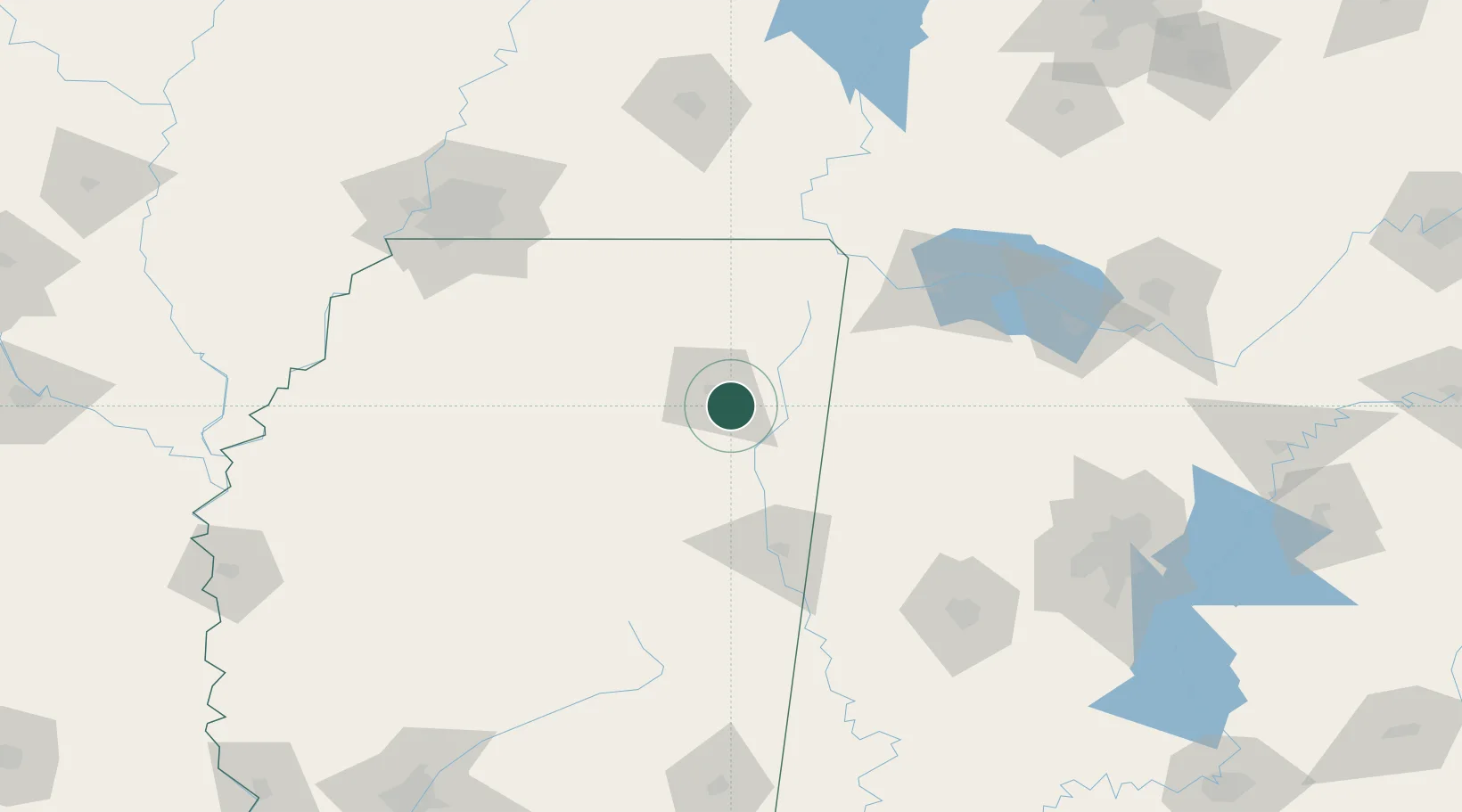
Plantersville
34.2000°, -88.6500°
1,163
Population
2
Transport functions
Transport Functions
Rail
Road
Hub Profile
Place type
Populated place
Region
Mississippi
Population
1,163
Time zone
America/Chicago
Elevation
94 m
Location
Nearby Logistics Neighbours
Cities
- 1Belden17 km
- 2Mantachie20 km
- 3Furrs20 km
- 4Centerville21 km
- 5Wren26 km
Ports
- 1Port Of Memphis169 km
- 2Mobile394 km
- 3Biloxi425 km
- 4Pascagoula428 km
- 5Gulfport430 km
Airports
Trade Zones
- 1FTZ No. 262 Southaven152 km
- 2FTZ No. 265 Conroe (Montgomery County)164 km
- 3FTZ No. 270 Lawrence County166 km
- 4FTZ No. 223 Memphis169 km
- 5FTZ No. 273 West Memphis176 km
DatabookThe Record of Consolidated Knowledge
United States beyond logistics?