Transport Functions
Rail
Road
Hub Profile
Place type
Populated place
Region
Mississippi
Time zone
America/Chicago
Elevation
91 m
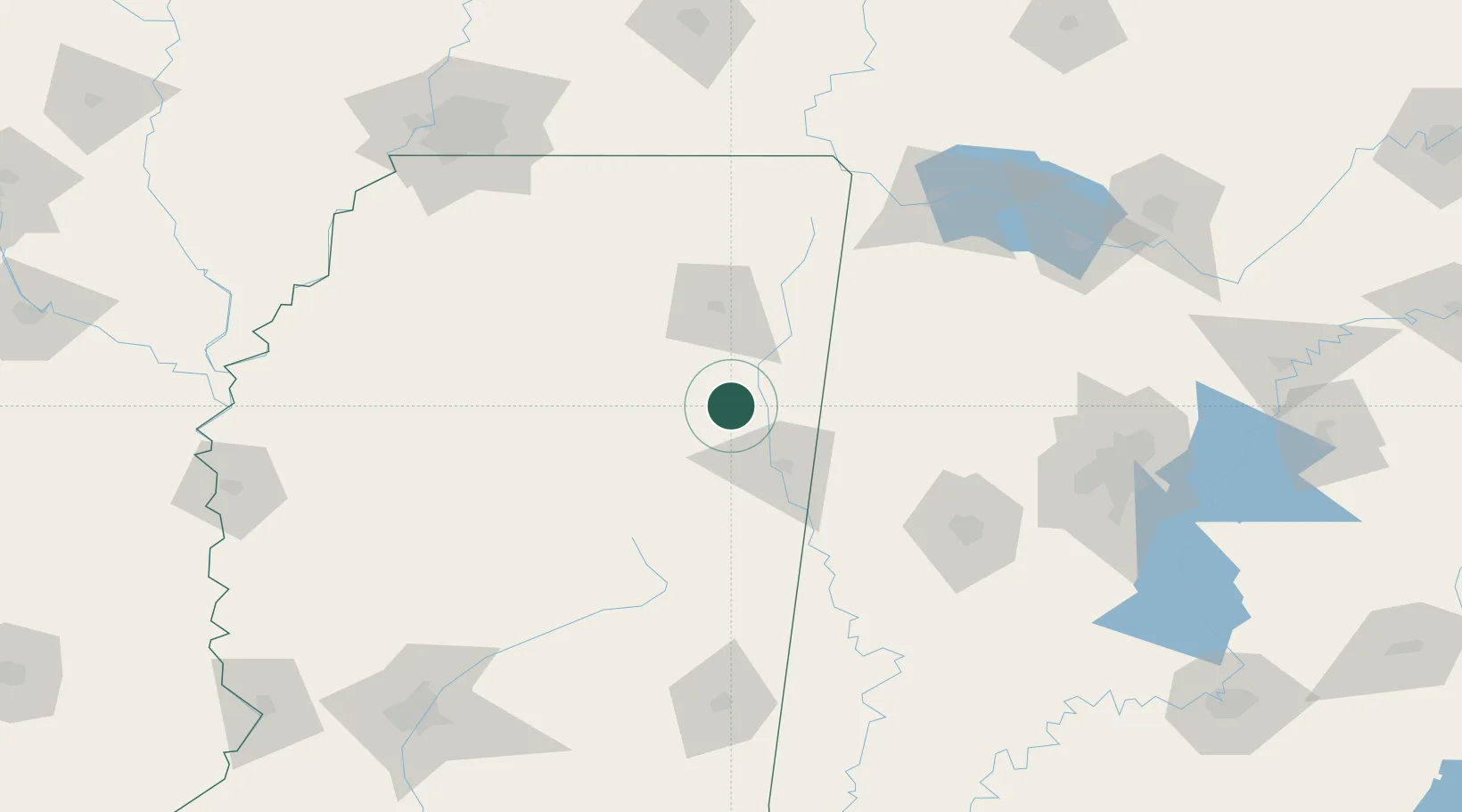
Location
Nearby Logistics Neighbours
Cities
- 1Aberdeen11 km
- 2Lackey19 km
- 3Wren20 km
- 4Hickory Flat, Chicasaw31 km
- 5Mayhew35 km
Ports
- 1Port Of Memphis197 km
- 2Mobile350 km
- 3Biloxi381 km
- 4Pascagoula384 km
- 5Gulfport386 km
Airports
Trade Zones
- 1FTZ No. 098 Birmingham175 km
- 2FTZ No. 262 Southaven179 km
- 3FTZ No. 265 Conroe (Montgomery County)184 km
- 4FTZ No. 270 Lawrence County186 km
- 5FTZ No. 083 Huntsville198 km
DatabookThe Record of Consolidated Knowledge
United States beyond logistics?