UN/LOCODE hub · United States
USHYF

Hickory Flat, Chicasaw

34.0167°, -88.8833°
2
Transport functions

Transport Functions

Road
Multimodal
UN/LOCODE

Hub Profile

Region
MS
GeoNames

Location

Location of USHYF
Natural Earth 10m (public domain) · MS · USHYF · 34.02, -88.88GoogleOSMYandex

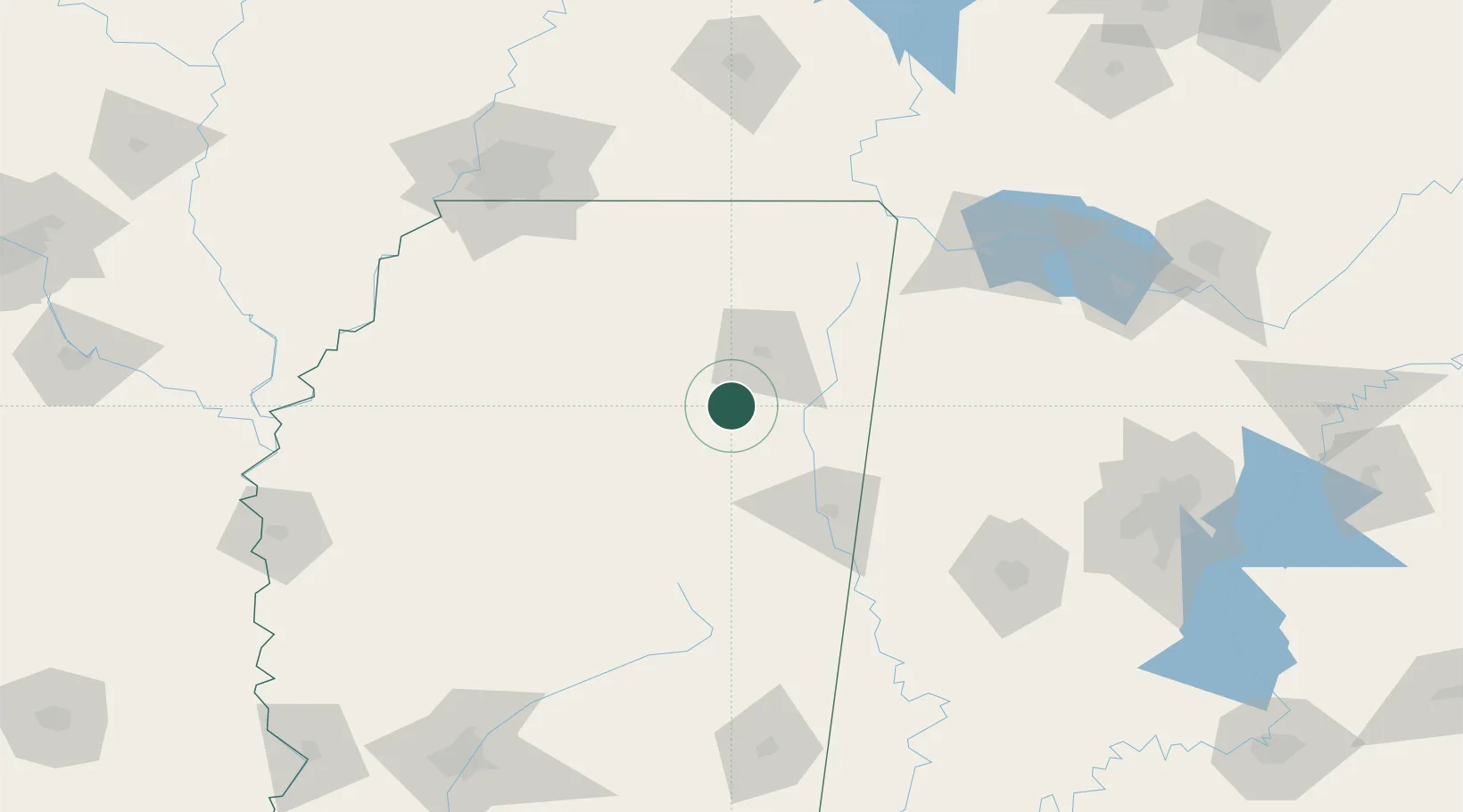
Nearby Logistics Neighbours

Cities
  1. 1Furrs24 km
  2. 2Wren27 km
  3. 3Plantersville30 km
  4. 4Prairie31 km
  5. 5Belden33 km
Nearest neighbours — logibook spatial index (haversine) over the source coordinates
Ports
  1. 1Port Of Memphis166 km
  2. 2Mobile378 km
  3. 3Biloxi404 km
  4. 4Gulfport408 km
  5. 5Pascagoula409 km
Nearest neighbours — logibook spatial index (haversine) over the source coordinates
Airports
  1. 1Tupelo Regional Airport30 km
  2. 2Columbus Air Force Base58 km
  3. 3Golden Triangle Regional Airport69 km
  4. 4University Oxford Airport73 km
  5. 5Greenwood–Leflore Airport126 km
Nearest neighbours — logibook spatial index (haversine) over the source coordinates
Trade Zones
  1. 1FTZ No. 262 Southaven148 km
  2. 2FTZ No. 223 Memphis167 km
  3. 3FTZ No. 273 West Memphis173 km
  4. 4FTZ No. 077 Memphis176 km
  5. 5FTZ No. 287 Tunica County179 km
Nearest neighbours — logibook spatial index (haversine) over the source coordinates
DatabookThe Record of Consolidated Knowledge
United States beyond logistics?
Browse databook

All Sources

LocationsUN/LOCODE
UN/LOCODE — free
Portsthe NGA World Port Index
Public domain (US gov)
AirportsOurAirports
Public domain
Trade Zonesthe World Bank SEZ database
CC BY 4.0
Trade ZonesOpen Zone Map
CC BY
← United States locations