UN/LOCODE hub · United States
USAEK
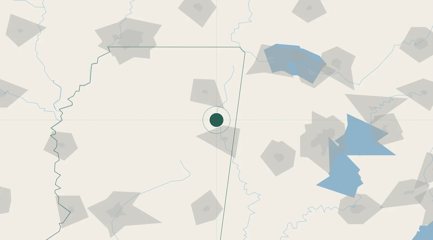
Aberdeen
33.8167°, -88.5500°
5,397
Population
3
Transport functions
Transport Functions
Port
Rail
Road
Hub Profile
Place type
Provincial seat
Region
Mississippi
Population
5,397
Time zone
America/Chicago
Elevation
73 m
Location
Nearby Logistics Neighbours
Cities
- 1Lackey8 km
- 2Prairie11 km
- 3Wren17 km
- 4Mayhew38 km
- 5Hickory Flat, Chicasaw38 km
Ports
- 1Port Of Memphis203 km
- 2Mobile351 km
- 3Biloxi383 km
- 4Pascagoula386 km
- 5Gulfport389 km
Airports
Trade Zones
- 1FTZ No. 098 Birmingham164 km
- 2FTZ No. 265 Conroe (Montgomery County)174 km
- 3FTZ No. 270 Lawrence County176 km
- 4FTZ No. 262 Southaven186 km
- 5FTZ No. 083 Huntsville188 km
DatabookThe Record of Consolidated Knowledge
United States beyond logistics?