Transport Functions
Rail
Road
Multimodal
Hub Profile
Place type
Populated place
Region
Mississippi
Time zone
America/Chicago
Elevation
67 m
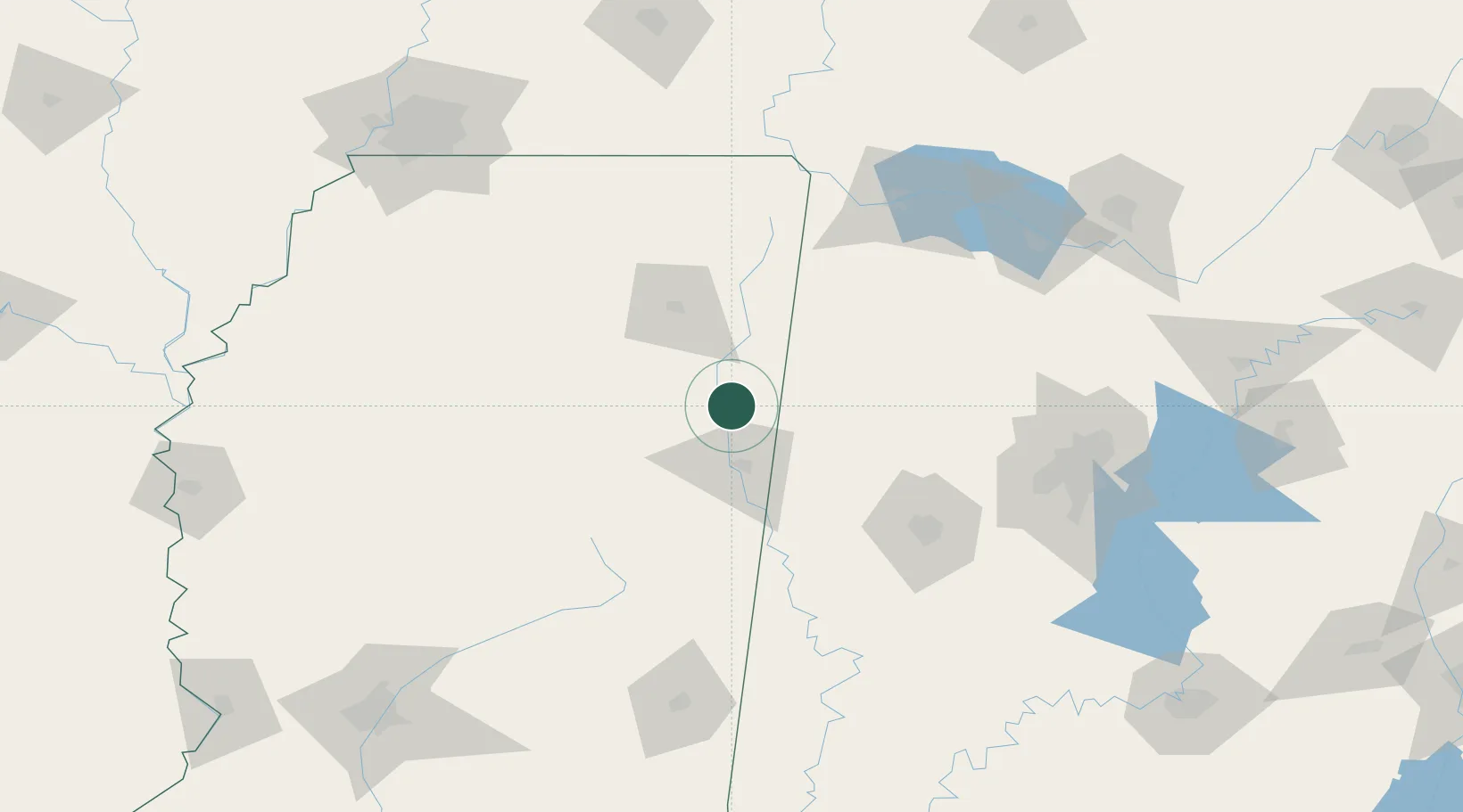
Location
Nearby Logistics Neighbours
Ports
- 1Port Of Memphis210 km
- 2Mobile348 km
- 3Biloxi382 km
- 4Pascagoula384 km
- 5Gulfport388 km
Airports
Trade Zones
- 1FTZ No. 098 Birmingham156 km
- 2FTZ No. 265 Conroe (Montgomery County)169 km
- 3FTZ No. 270 Lawrence County171 km
- 4FTZ No. 083 Huntsville182 km
- 5FTZ No. 262 Southaven192 km
DatabookThe Record of Consolidated Knowledge
United States beyond logistics?