Medium airport · United States
University Oxford AirportKUOX
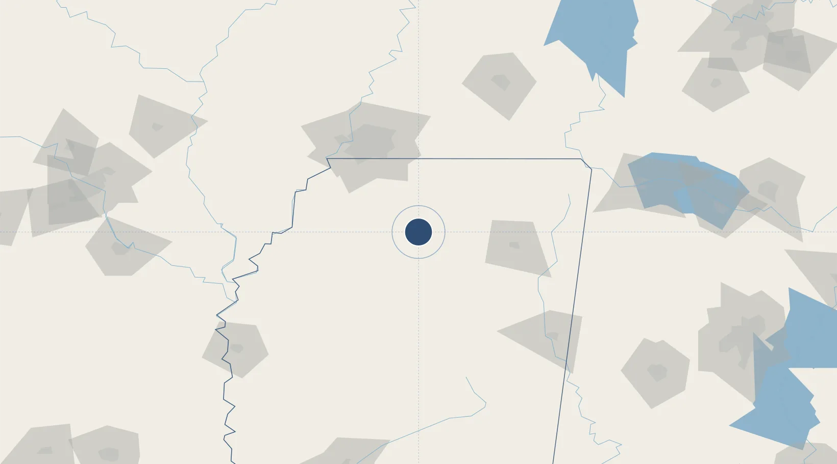
34.3843°, -89.5368°
5,600 ft
Longest runway
1
Runways
452 ft
Elevation
Runway & Layout

Radio Frequencies
AWOS
132.725 MHz
AWOS 3
CNTR
128.5 MHz
MEMPHIS CNTR
UNIC
123 MHz
CTAF/UNICOM
Navaids
UV NDB Tunng 426 kHz
Runways · 1
| Runway | Dimensions | Surface | True heading | Lit |
|---|---|---|---|---|
| 09/27 | 5,600 × 100ft | Asphalt | 091° | ✓ |
Airport Specifications
IATA code
UOX
ICAO code
KUOX
Airport class
Medium airport
Scheduled service
No
Runway surface
Asphalt
Served city
Oxford
Location
Nearby Logistics Neighbours
Airports
- 1Tupelo Regional Airport72 km
- 2Memphis International Airport84 km
- 3Greenwood–Leflore Airport111 km
- 4Millington-Memphis Airport112 km
- 5Columbus Air Force Base130 km
Cities
- 1Water Valley27 km
- 2Hickory Flat, Benton41 km
- 3Bruce46 km
- 4Coldwater53 km
- 5Crenshaw61 km
Ports
- 1Port Of Memphis95 km
- 2Mobile433 km
- 3Madisonville447 km
- 4Biloxi449 km
- 5Gulfport451 km
Trade Zones
- 1FTZ No. 262 Southaven78 km
- 2FTZ No. 223 Memphis98 km
- 3FTZ No. 273 West Memphis104 km
- 4FTZ No. 077 Memphis105 km
- 5FTZ No. 287 Tunica County109 km
DatabookThe Record of Consolidated Knowledge
United States beyond logistics?