Transport Functions
Port
Road
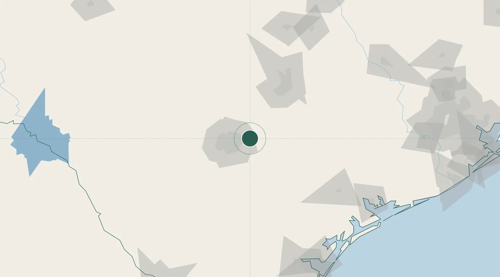
Hub Profile
Place type
Populated place
Region
Texas
Population
33,433
Time zone
America/Chicago
Elevation
213 m
Location
Nearby Logistics Neighbours
Cities
- 1Schertz4 km
- 2Castle Hills26 km
- 3La Vernia27 km
- 4Canyon Lake33 km
- 5Elmendorf36 km
Ports
- 1Port Lavaca189 km
- 2Rockport207 km
- 3Corpus Christi211 km
- 4Palacios219 km
- 5Port Ingleside220 km
Airports
Trade Zones
- 1FTZ No. 080 San Antonio55 km
- 2FTZ No. 183 Austin91 km
- 3FTZ No. 122 Corpus Christi212 km
- 4FTZ No. 246 Waco240 km
- 5FTZ No. 096 Eagle Pass241 km
DatabookThe Record of Consolidated Knowledge
United States beyond logistics?