UN/LOCODE hub · United States
USZHX
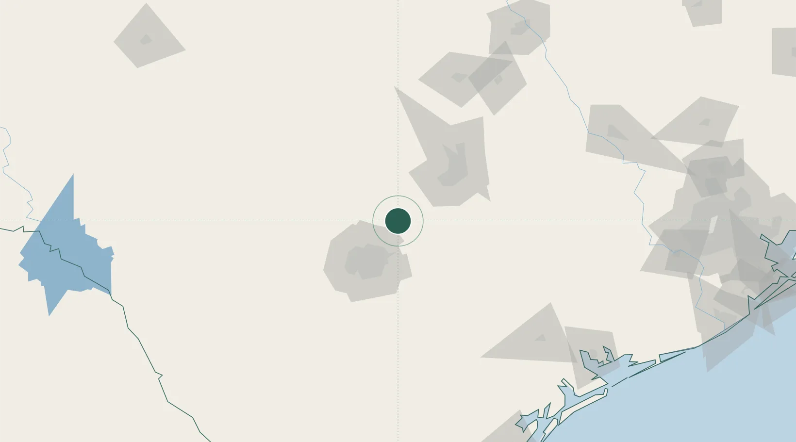
Canyon Lake
29.8667°, -98.2500°
21,262
Population
1
Transport functions
Transport Functions
Multimodal
Hub Profile
Place type
Populated place
Region
Texas
Population
21,262
Time zone
America/Chicago
Elevation
294 m
Location
Nearby Logistics Neighbours
Cities
- 1Wimberley21 km
- 2Cibolo33 km
- 3Schertz35 km
- 4Kyle39 km
- 5Castle Hills46 km
Ports
- 1Port Lavaca211 km
- 2Rockport237 km
- 3Palacios237 km
- 4Corpus Christi243 km
- 5Port Ingleside251 km
Airports
Trade Zones
- 1FTZ No. 183 Austin66 km
- 2FTZ No. 080 San Antonio68 km
- 3FTZ No. 246 Waco210 km
- 4FTZ No. 122 Corpus Christi243 km
- 5FTZ No. 096 Eagle Pass254 km
DatabookThe Record of Consolidated Knowledge
United States beyond logistics?