UN/LOCODE hub · United States
USSRT
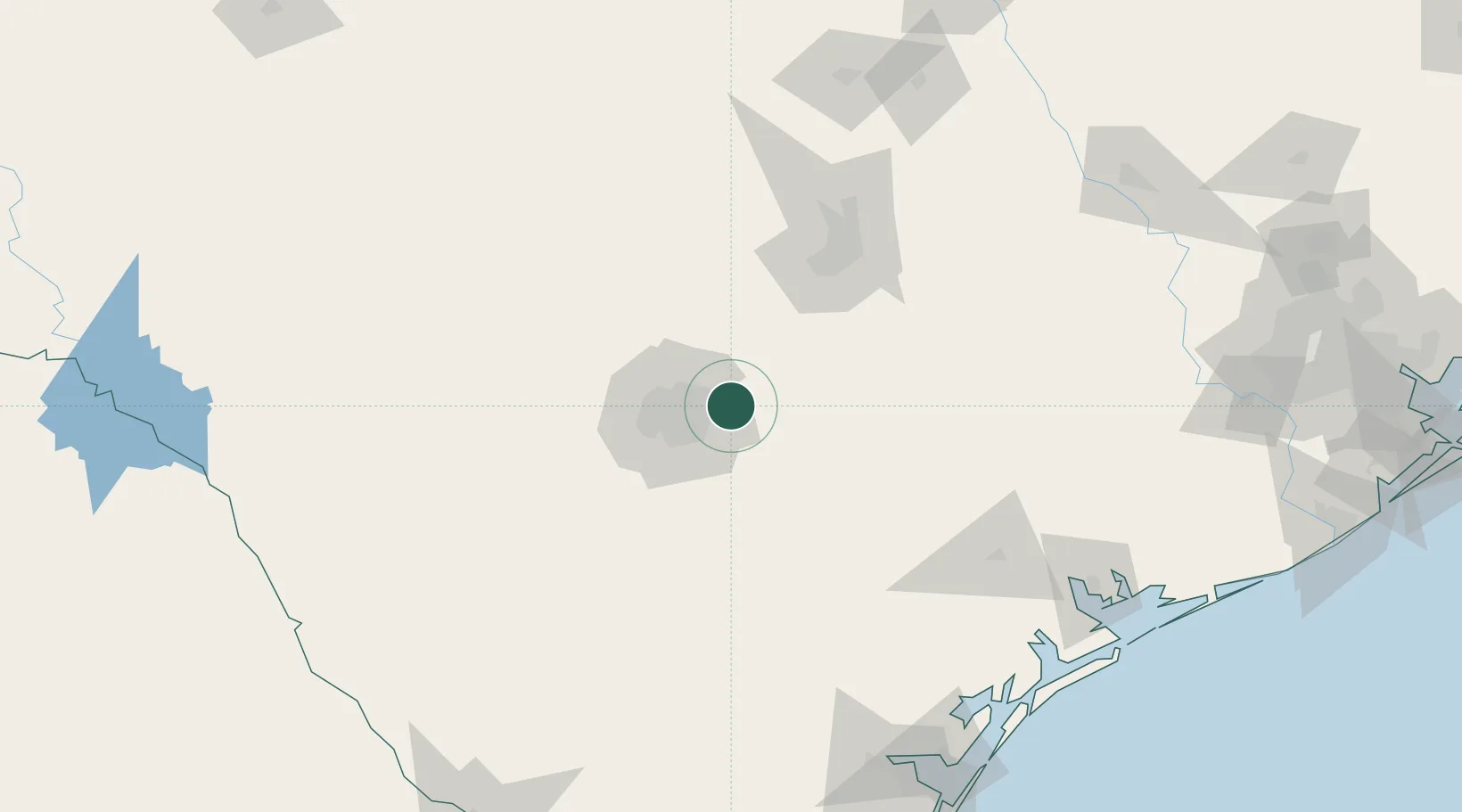
Schertz
29.5500°, -98.2667°
43,091
Population
2
Transport functions
Transport Functions
Rail
Road
Hub Profile
Place type
Populated place
Region
Texas
Population
43,091
Time zone
America/Chicago
Elevation
217 m
Location
Nearby Logistics Neighbours
Cities
- 1Cibolo4 km
- 2Castle Hills23 km
- 3La Vernia28 km
- 4Elmendorf34 km
- 5Canyon Lake35 km
Ports
- 1Port Lavaca191 km
- 2Rockport208 km
- 3Corpus Christi211 km
- 4Port Ingleside220 km
- 5Palacios221 km
Airports
Trade Zones
- 1FTZ No. 080 San Antonio52 km
- 2FTZ No. 183 Austin94 km
- 3FTZ No. 122 Corpus Christi211 km
- 4FTZ No. 096 Eagle Pass237 km
- 5FTZ No. 246 Waco243 km
DatabookThe Record of Consolidated Knowledge
United States beyond logistics?