UN/LOCODE hub · United States
USQVL

Thackerville

33.7833°, -97.1333°
467
Population
1
Transport functions

Transport Functions

Multimodal
UN/LOCODE

Hub Profile

Place type
Populated place
GeoNames
Region
Oklahoma
GeoNames
Population
467
GeoNames
Time zone
America/Chicago
GeoNames
Elevation
264 m
GeoNames

Location

Location of USQVL
Natural Earth 10m (public domain) · Oklahoma · USQVL · 33.78, -97.13GoogleOSMYandex

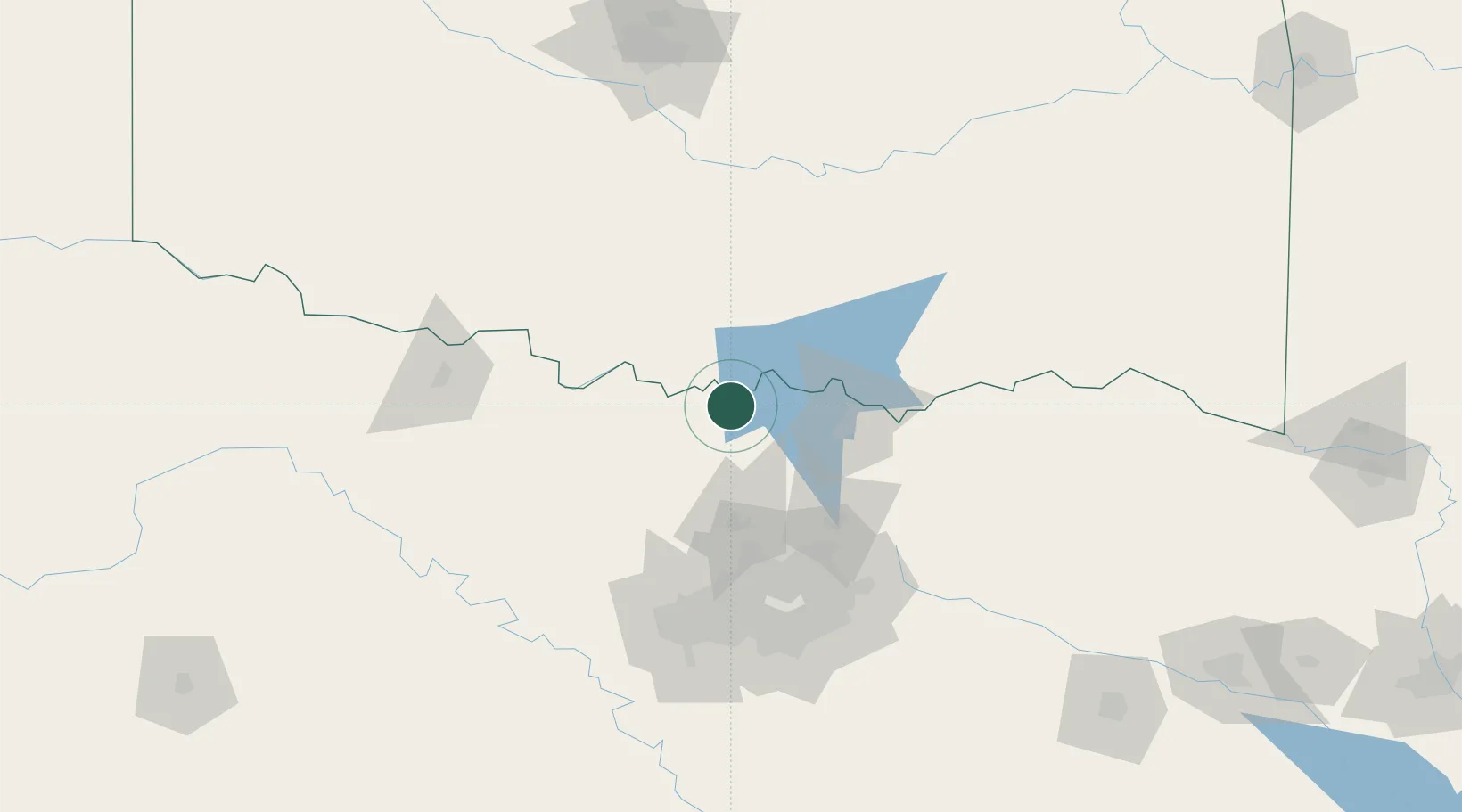
Nearby Logistics Neighbours

Cities
  1. 1Whitesboro26 km
  2. 2Muenster26 km
  3. 3Tioga41 km
  4. 4Sanger46 km
  5. 5Healdton58 km
Nearest neighbours — logibook spatial index (haversine) over the source coordinates
Ports
  1. 1Deer Park480 km
  2. 2Houston481 km
  3. 3Pasadena487 km
  4. 4Baytown493 km
  5. 5Beaumont502 km
Nearest neighbours — logibook spatial index (haversine) over the source coordinates
Airports
  1. 1North Texas Regional Airport Perrin Field43 km
  2. 2Durant Regional Airport - Eaker Field70 km
  3. 3Perot Field/Fort Worth Alliance Airport90 km
  4. 4Dallas Fort Worth International Airport99 km
  5. 5Dallas Love Field108 km
Nearest neighbours — logibook spatial index (haversine) over the source coordinates
Trade Zones
  1. 1FTZ No. 227 Durant73 km
  2. 2FTZ No. 196 Fort Worth117 km
  3. 3FTZ No. 168 Dallas Fort Worth121 km
  4. 4FTZ No. 039 Dallas Fort Worth146 km
  5. 5FTZ No. 113 Ellis County165 km
Nearest neighbours — logibook spatial index (haversine) over the source coordinates
DatabookThe Record of Consolidated Knowledge
United States beyond logistics?
Browse databook

All Sources

LocationsUN/LOCODE
UN/LOCODE — free
LocationsGeoNames
CC BY 4.0
Portsthe NGA World Port Index
Public domain (US gov)
AirportsOurAirports
Public domain
Trade Zonesthe World Bank SEZ database
CC BY 4.0
Trade ZonesOpen Zone Map
CC BY
← United States locations