Transport Functions
Rail
Road
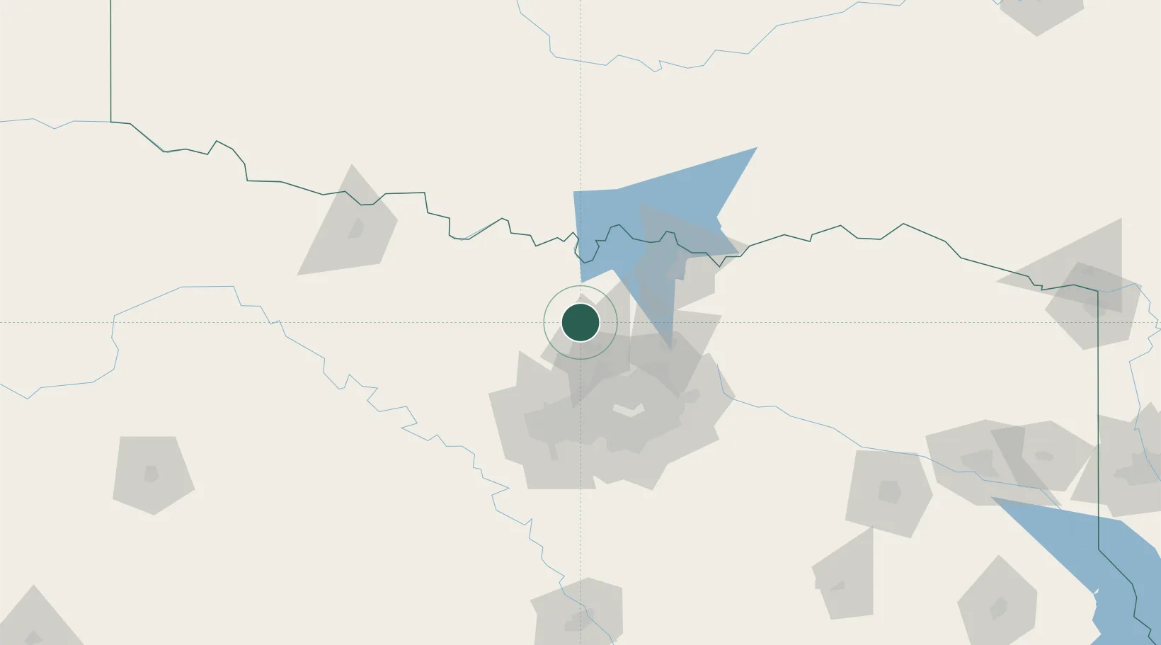
Hub Profile
Place type
Populated place
Region
Texas
Population
7,747
Time zone
America/Chicago
Elevation
206 m
Location
Nearby Logistics Neighbours
Cities
- 1Copper Canyon22 km
- 2Tioga26 km
- 3Hickory Creek30 km
- 4Justin31 km
- 5Lake Dallas31 km
Airports
Trade Zones
- 1FTZ No. 196 Fort Worth73 km
- 2FTZ No. 168 Dallas Fort Worth77 km
- 3FTZ No. 227 Durant101 km
- 4FTZ No. 039 Dallas Fort Worth111 km
- 5FTZ No. 113 Ellis County119 km
DatabookThe Record of Consolidated Knowledge
United States beyond logistics?