UN/LOCODE hub · United States
USMST
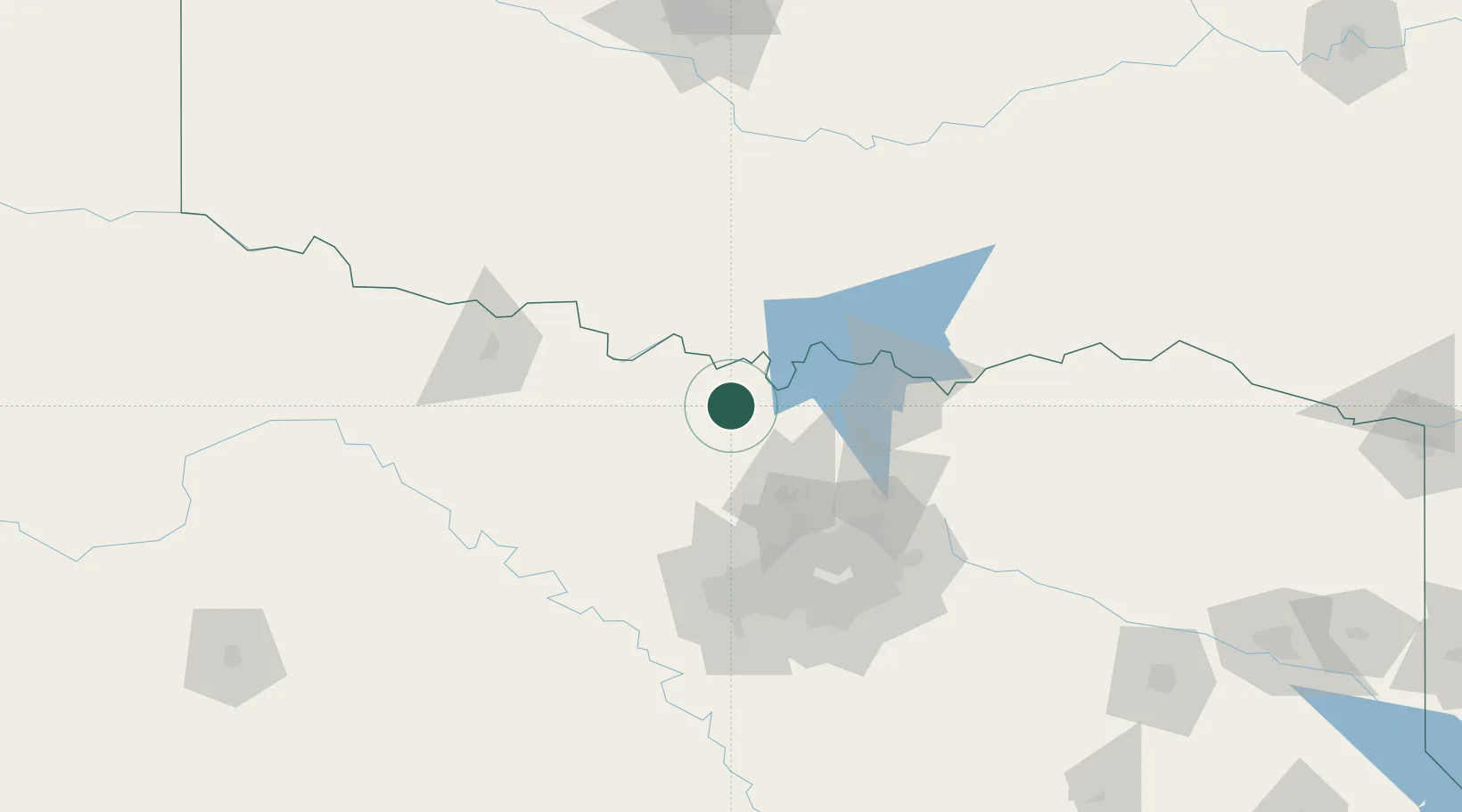
Muenster
33.6500°, -97.3667°
1,608
Population
2
Transport functions
Transport Functions
Road
Multimodal
Hub Profile
Place type
Populated place
Region
Texas
Population
1,608
Time zone
America/Chicago
Elevation
305 m
Location
Nearby Logistics Neighbours
Cities
- 1Thackerville26 km
- 2Sanger37 km
- 3Whitesboro43 km
- 4Bowie45 km
- 5Tioga46 km
Airports
Trade Zones
- 1FTZ No. 196 Fort Worth96 km
- 2FTZ No. 227 Durant98 km
- 3FTZ No. 168 Dallas Fort Worth102 km
- 4FTZ No. 039 Dallas Fort Worth121 km
- 5FTZ No. 113 Ellis County154 km
DatabookThe Record of Consolidated Knowledge
United States beyond logistics?