Transport Functions
Rail
Road
Hub Profile
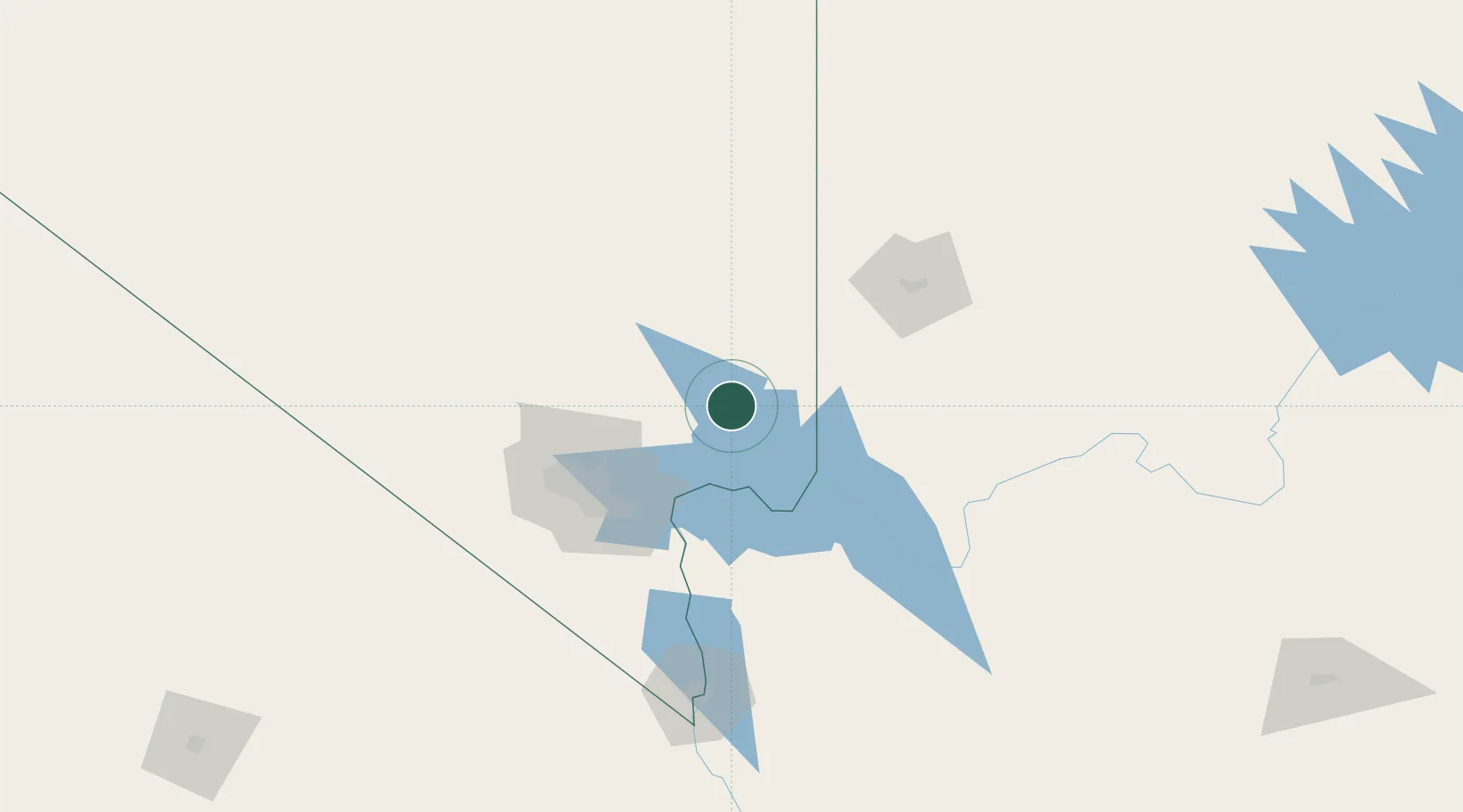
Region
NV
Location
Nearby Logistics Neighbours
Cities
- 1Nellis Air Force Base58 km
- 2Las Vegas66 km
- 3North Las Vegas68 km
- 4Washington107 km
- 5Alamo110 km
Ports
- 1Newport Beach451 km
- 2Long Beach458 km
- 3Los Angeles464 km
- 4El Segundo464 km
- 5San Diego493 km
Airports
Trade Zones
- 1FTZ No. 170 Clark County162 km
- 2FTZ No. 089 Clark County162 km
- 3FTZ No. 243 Victorville342 km
- 4FTZ No. 236 Palm Springs355 km
- 5FTZ No. 277 Western Maricopa County389 km
DatabookThe Record of Consolidated Knowledge
United States beyond logistics?