Medium airport · United States
Coastal Carolina Regional AirportKEWN
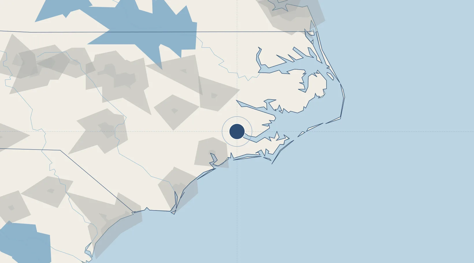
35.0730°, -77.0429°
6,452 ft
Longest runway
2
Runways
18 ft
Elevation
Runway & Layout

Radio Frequencies
ASOS
118.525 MHz
TWR
124.25 MHz
NEW BERN TWR
GND
121.7 MHz
CLD
120.525 MHz
CLNC DEL
CTAF
124.25 MHz
A/D
119.35 MHz
CHERRY POINT APP/DEP
RDO
122.2 MHz
RALEIGH RDO
Navaids
EW NDB Katfi 362 kHz
EWN VOR-DME New Bern 113.60 MHz
Runways · 2
| Runway | Dimensions | Surface | True heading | Lit |
|---|---|---|---|---|
| 04/22 | 6,452 × 150ft | Asphalt | 031° | ✓ |
| 14/32 | 4,001 × 150ft | ASPH-G | 128° | — |
Airport Specifications
IATA code
EWN
ICAO code
KEWN
Airport class
Medium airport
Scheduled service
Yes
Runway surface
Asphalt
Served city
New Bern
Location
Nearby Logistics Neighbours
Airports
Cities
- 1Havelock24 km
- 2Holly Springs, Carteret33 km
- 3Newport36 km
- 4Cedar Point43 km
- 5Cape Carteret43 km
Ports
- 1New Bern3 km
- 2Morehead City51 km
- 3Beaufort52 km
- 4Washington53 km
- 5Belhaven72 km
Trade Zones
- 1FTZ No. 214 Lenoir County79 km
- 2FTZ No. 093 Raleigh Durham192 km
- 3FTZ No. 020 Suffolk209 km
- 4FTZ No. 207 Richmond277 km
- 5FTZ No. 230 Piedmont Triad Area307 km
DatabookThe Record of Consolidated Knowledge
United States beyond logistics?